New weather satellite provides images of Earth in unprecedented detail

On November 19, 2016, the United States National Oceanic and Atmospheric Administration (NOAA) launched a brand new weather satellite to provide ultra high-resolution images of developing weather events. The hope is that the incredibly precise images from the GOES-16 satellite will allow forecasters to more accurately identify severe weather and give more advance warnings.
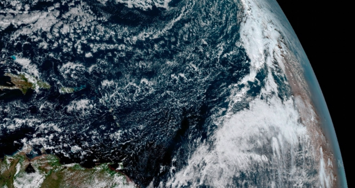
This week, the first set of images from the GOES-16 have been released, showing the Western Hemisphere in never-before-seen detail.
The GOES-16 Advanced Baseline Imager (ABI) is now able to capture a full disk image of Earth every 15 minutes. The weather satellite can target specific areas where severe weather is occurring every 30 seconds.
“Seeing these first images from GOES-16 is a foundational moment for the team of scientists and engineers who worked to bring the satellite to launch and are now poised to explore new weather forecasting possibilities with this data and imagery,” said Dr. Stephen Volz, Assistant Administrator for Satellite and Information Services at the NOAA.
“The incredibly sharp images are everything we hoped for based on our tests before launch. We look forward to exploiting these new images, along with our partners in the meteorology community to make the most of this fantastic new satellite.”
—
By Rory Arnold, Earth.com Staff Writer


