Good news: NASA satellite will monitor Earth's oceans with unprecedented accuracy
Sentinel-6B has reached Vandenberg Space Force Base in California for final launch preparations. The U.S. and Europe built it to track the ocean with fresh precision.
It will extend the global record of sea surface height, a key sign of climate change. The rise now averages about 0.17 inches per year, a rate tracked by NASA’s global mean sea level indicator.
Why sea levels need Sentinel-6B

The lead NASA project scientist is Josh Willis of NASA’s Jet Propulsion Laboratory (JPL). That role ties day-to-day instrument needs to long term climate goals.
Sea level is rising faster than it used to, and the acceleration matters for planning. An international analysis found the rate grew from about 2.1 to about 4.5 millimeters per year by 2023.
Heat makes seawater expand, that’s called thermal expansion. Melting ice on land adds mass to the ocean and raises sea level.
Short term swings from El Niño or La Niña can mask the longer trend. A long, stable record reduces that noise and clarifies the pace.
How Sentinel-6B reads the ocean
Each Sentinel-6 satellite carries the Poseidon-4 radar altimeter, an instrument that times radar pulses to gauge height. It also includes an Advanced Microwave Radiometer and supporting sensors, with NASA delivering those components.
The radiometer tracks water vapor that slows the radar signal. That correction keeps the height measurement within tight error limits over changing weather.
Global Navigation Satellite System radio occultation, a technique using signal bending to profile air, adds high altitude temperature and humidity. Those profiles strengthen weather models and improve forecasts over the open ocean.
A Laser Retroreflector Array gives precise position checks using ground based lasers. That process, precise orbit determination ensures consistent heights.
Instruments add to forecasts
Poseidon-4 captures the height and shape of passing waves. Those details improve estimates of wave energy that mariners use every day.
Height maps reveal strong currents and eddies that can steer ships or spread pollutants. The radiometer’s moisture data sharpens rainfall and storm track guidance over the sea.
Atmospheric profiles from radio occultation feed global models at many forecast centers. Small gains in model skill offshore can pay off in hurricane intensity prediction.
Together, these streams support the systems that guide routing, offshore operations, and search and rescue. They also inform seasonal outlooks tied to ocean patterns.
From orbit to coastal decisions
It serves as the reference for sea surface height, so other satellites compare to it for accuracy. That cross-check, called cross-calibration, meaning comparing instruments so datasets agree, reduces drift across missions.
That role keeps the global record traceable across decades. It also lifts the quality of wave and wind data used by mariners and meteorologists.
Coastal planners can use the data to spot nuisance flooding, minor floods that recur during high tides. Instruments feed the storm models that shape warnings for communities before a surge.
Port pilots, fishers, and offshore operators also benefit from more accurate sea state updates. Better current maps support search and rescue and spill response.
Record that started in 1992
This mission extends a line that began with TOPEX and Poseidon in 1992 and continued through the Jason series. NASA’s Sea Level Change program provides a clear summary of how Sentinel-6 continues that work into the 2030s.
Sentinel-6B will assume duties from its twin after a short overlap. That handoff helps keep the record seamless as the older satellite steps back.
The two satellites fly the same ground track during the transition to compare readings side by side. Once the checks are complete, the newer craft takes the lead and the older one moves to a slightly offset track.
Continuity matters because climate trends emerge slowly and require patience. Gap free data helps regional planners avoid false alarms and missed risks.
Sentinel-6B and Earth’s climate future
Its twin already set the standard for sea level height from space. Sentinel-6B keeps that standard and preserves the reference against which all others are tuned.
The package also includes experimental high resolution microwave channels for testing near the coast. Those channels could sharpen maps of coastal moisture and reduce errors near shorelines.
The mission’s design aims for minimal bias changes relative to earlier altimeters. That protects the integrity of the climate data record.
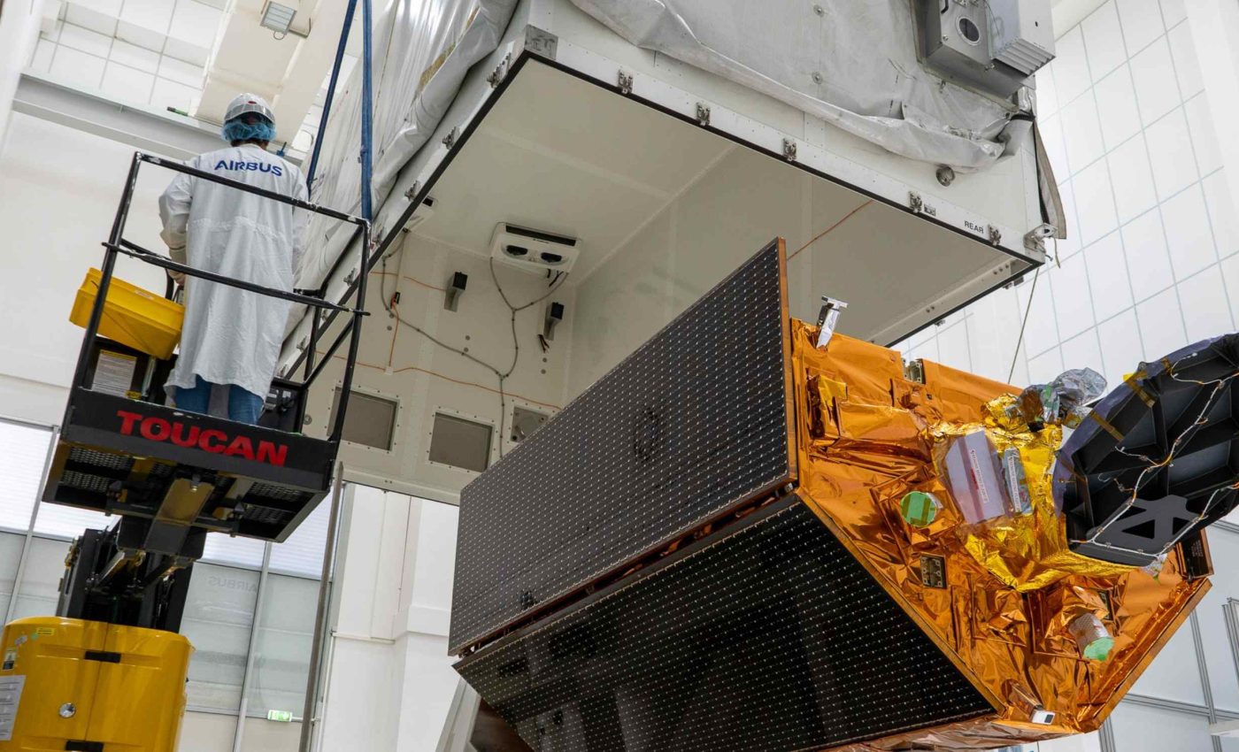
Technicians will fuel the spacecraft, finish system checks, and integrate it with the rocket. Launch from Vandenberg will place it in a repeat orbit that samples nearly the whole ocean.
After launch, teams enter a commissioning phase, early on orbit checks that fine tune instruments. Engineers will compare early heights against trusted tide stations and previous satellites to validate performance.
Within weeks, data will reach weather centers and marine forecasters. Full climate quality records follow after deeper calibration, once long term stability is confirmed.
Sentinel-6B is about continuity, not headlines. A steadier yardstick of the ocean lets science and communities see change clearly.
—–
Like what you read? Subscribe to our newsletter for engaging articles, exclusive content, and the latest updates.
Check us out on EarthSnap, a free app brought to you by Eric Ralls and Earth.com.
—–


