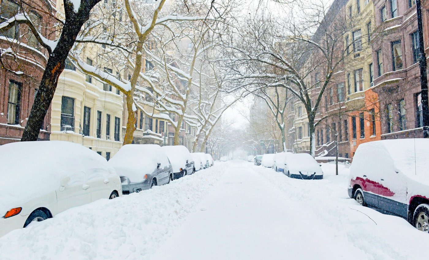
Why global warming hasn't ended extreme winter cold, and why you shouldn't expect it to
Many expect warmer winters to reduce cold snaps, but that isn’t how it works. A new study reveals that the polar vortex, happening high in the stratosphere, still controls much of what happens at ground level.
In this study, scientists looked at how changes in that polar vortex – especially in the stratosphere (a layer of the atmosphere way above us) – affect winter weather in the U.S.

They discovered that the shape and strength of the vortex at two different heights can look totally different, and this matters a lot.
The study was conducted by researchers from the University of Massachusetts Lowell, Hebrew University of Jerusalem, and the Massachusetts Institute of Technology (MIT).
“The public often hears about the ‘polar vortex’ when winter turns severe, but we wanted to dig deeper and understand how variations within this vortex affect where and when extreme cold hits,” the research team explained.
Understanding the polar vortex
Imagine the atmosphere above the North Pole as a swirling dome of icy air – that’s the polar vortex, officially called the stratospheric polar vortex (SPV).
When it’s strong and stable, winter in the U.S. tends to stay fairly calm. But when this vortex gets stretched, twisted, or broken apart, cold air can spill southward, triggering severe winter weather across the country.
This study dug into how different shapes and behaviors of the polar vortex – not just at one level of the atmosphere but at two – affect winter storms in the U.S.
Over the last decade, the worst cold snaps have been hitting farther west than before. That shift seems to line up with more frequent La Niña events – times when the Pacific Ocean is cooler than usual.
La Niña tends to favor the version of the vortex that affects the western U.S., while El Niño, its warmer sibling, leans more toward the version that affects the east.
Different types of polar vortexes
The researchers used a technique called K-means clustering (basically, pattern detection in big datasets) to spot five different types of stratospheric behavior.
Two of these polar vortex classes stood out because they often came with extreme cold and snow.
One pattern (called P2) leads to severe weather in the Northwest U.S.. The other (P3) hits the Central and Eastern regions of the U.S.
P2 features a strong vortex centered over the pole with a stretched lower vortex. It often brings snow and cold to the Northwestern U.S.
P3 shows a weaker, displaced vortex toward the North Atlantic, steering cold into the Central and Eastern U.S. These variations do not just depend on vortex position but also on how atmospheric waves behave.
Planetary waves can either be absorbed or reflected in the stratosphere. When reflected, they can send cold air barreling southward.
P3 events consistently show this reflection during the cold wave itself. P2 events often have wave reflection before the cold snap hits.
Where the cold hits and why
The researchers used the rAWSSI index, which considers temperature, snow depth, and snowfall.
The analysis revealed that P3 patterns produce the most extreme winter conditions in the Central and Eastern U.S., while P2 patterns primarily affect the Northwestern region with intense cold and snowfall.
The findings help explain recent cold events, including the severe Texas freeze of 2021.
The Northwest has seen more P2 days recently. This increase matches a northwestward shift in cold air outbreaks. The central and eastern parts still get hit, but less often now.
Wave activity flux (WAF) offers clues. Before P2 events, reflection happens over Siberia and Alaska. During P3 events, strong reflection occurs over Asia and the Pacific. In P3, this reflection continues as the cold air descends.
Cold air starts in the east, spreads across the Midwest, and settles in the Northwest. These transitions help forecast where the next cold wave might land.
Global cycles and the polar vortex
P2 is more frequent during La Niña conditions. P3 prefers El Niño phases. This suggests tropical ocean temperatures influence how the polar vortex behaves.
Other climate patterns play a role as well. The westerly phase of the Quasi-Biennial Oscillation (QBO) often coincides with P2 days.
On the other hand, the Arctic Oscillation (AO) tends to be more negative during P3 events, a state that supports increased cold outbreaks in the Central and Eastern United States.
Winter cold is shifting
What makes this research unique is that it doesn’t just focus on surface temperatures like most studies. It includes snow cover and snowfall, too, giving a fuller picture of how the stratosphere connects to what we experience on the ground.
Despite a warming climate, these findings suggest extreme cold will continue to return each year, even though its location may shift. In the past decade, the coldest anomalies moved westward, which is a change from decades of more common Eastern U.S. cold.
This deeper understanding could help forecasters predict harsh winter conditions weeks in advance by watching patterns in the stratosphere and tropical oceans.
In the end, this study shows that what happens high above the Earth – and even far across the ocean – can shape the winter weather we feel in a big way. And by getting better at reading those signals from way up in the sky, we might get better at preparing for the coming storms.
—–
The research was funded by the National Science Foundation (NSF) , the U.S.–Israel Binational Science Foundation (BSF) , the U.S. Department of Energy (DOE) , and the National Oceanic and Atmospheric Administration (NOAA).
The study is published in the journal Science Advances.
—–
Like what you read? Subscribe to our newsletter for engaging articles, exclusive content, and the latest updates.
Check us out on EarthSnap, a free app brought to you by Eric Ralls and Earth.com.
—–


