El Niño is beginning to occur more regularly, every 2 to 5 years
A new climate modeling study suggests that El Niño may soon become stronger and more regular. This Pacific pattern already disrupts weather across the planet, so a shift in its behavior would matter almost everywhere.
An international team used a detailed climate model to explore how the tropical Pacific might respond to high greenhouse gas emissions this century.

They found that El Niño events could start switching more regularly every two to five years, altering rain and temperature patterns worldwide.
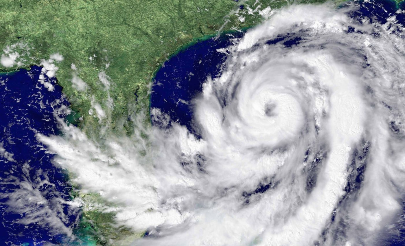
El Niño in the Pacific cycle
The work was led by Malte F. Stuecker, an oceanographer and climate scientist at the University of Hawaiʻi at Mānoa (UHM). His research focuses on how changes in the tropical Pacific drive swings in climate around the globe.
In their simulations, the team saw the tropical Pacific cross a climate tipping point, a threshold where small warming triggers much larger swings.
“In a warmer world, the tropical Pacific can undergo a type of climate tipping point,” said Stuecker in the study.
To explore that shift, the team used a high resolution model called AWI CM3, which divides atmosphere into grid boxes about 19 miles wide. In the ocean part, grid cells are as small as about 2.5 miles, so the model can represent currents that help shape El Niño.
The experiments assumed a future where greenhouse gas emissions stay very high, so the tropical Pacific keeps warming through the late twenty-first century.
Under those conditions, sea surface temperature, the temperature of the ocean surface, began to swing intensely between warm and cool phases in the Pacific.
El Niño-Southern Oscillation
El Niño-Southern Oscillation, a repeating swing in tropical Pacific ocean temperatures and winds, acts as one of Earth’s most important climate rhythms. It shifts rainfall, drought, and storm risks across many regions.
Right now, El Niño and La Niña come and go irregularly every few years, with some events huge and others barely noticeable.
Their distant impacts, called teleconnections, long distance links between the tropics and regions, can bring wet winters to one place and drought to another.
Many current climate models suggest that future El Niño events will often produce larger swings in tropical rainfall and ocean warmth.
One review finds climate models project stronger sea surface temperature and rainfall variability linked to El Niño.
The new simulations go beyond simply making El Niño stronger by showing a shift from irregular behavior to a more regular swing.
When that swing becomes more regular, its influence on wind and rain patterns can align more easily with other climate modes.
Irregular swing to locked pattern
In the model, El Niño and La Niña first behave much like observations over the late twentieth and early twenty-first century.
Later in the run, their ups and downs become larger and far more tightly grouped around a single repeating timescale.
The team measured this change with sample entropy, a statistic that drops as a signal becomes more predictable and regular.
That metric fell steadily in the future run, and comparisons with a long control simulation showed the shift exceeded natural randomness.
Physically, the model points to stronger air sea feedbacks, two way interactions between ocean temperatures and winds that can amplify small disturbances.
At the same time, random tropical weather fluctuations grow more energetic, helping to kick the Pacific into bigger, more self-sustaining swings.
As El Niño’s cycle strengthens in the model, other recurring patterns respond in step. Climate mode resonance, several climate cycles locking into common timing, is how the authors describe this behavior.
Climate cycles falling into sync
The patterns that fall into line include the North Atlantic Oscillation, a winter air pressure see saw that guides storms into Europe.
They also include Indian and Atlantic ocean modes that influence monsoons, Sahel rainfall, and hurricane season activity.
In the simulations, the strength of these Atlantic and Indian Ocean modes increases, with temperature swings growing by half or more compared with today.
At the same time, their timing tightens around the enhanced El Niño rhythm, so peaks and valleys in basins line up with Pacific events.
Other research suggests the north tropical Atlantic will also see stronger year to year swings as the planet warms. One study links that increase mainly to enhanced El Niño forced changes in the Pacific.
In the AWI CM3 runs, the strengthened Pacific signal appears in winter pressure patterns over the North Atlantic and in rainfall over western Europe.
That tighter Pacific to Atlantic link means European storms and wet winters could depend more on the state of El Niño and La Niña.
Lessons from El Niño
“This synchronization will lead to stronger rainfall fluctuations in regions such as Southern California and the Iberian Peninsula,” said Prof. Axel Timmermann a Distinguished Professor and the Director of the IBS Center for Climate Physics at Pusan National University in South Korea (IBS).
Here hydroclimate whiplash, rapid flips between very wet and very dry conditions, means communities can lurch from water scarcity straight into flood emergencies.
Global analyses show that these kinds of rapid wet to dry or dry to wet swings have already become more common in recent decades. One review finds global hydroclimate whiplash has increased by tens of percent since the mid twentieth century.
California offers a preview, with projections showing large increases in swings from drought to flood even when average rain changes little. One study of the state finds a 25 to 100 percent rise in dry to wet events, in work led by Daniel Swain.
“The increased regularity of ENSO could improve seasonal climate forecasts; however, the amplified impacts will necessitate enhanced planning and adaptation strategies,” said Timmermann.
That trade off will test water managers, farmers, and city planners, who may get clearer warnings yet face harsher consequences when events arrive.
The study is published in Nature Communications.
—–
Like what you read? Subscribe to our newsletter for engaging articles, exclusive content, and the latest updates.
Check us out on EarthSnap, a free app brought to you by Eric Ralls and Earth.com.
—–


