Hidden climate pattern could change the way we predict disasters
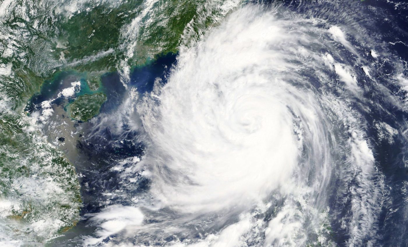
Climate’s power is on full display when a tropical cyclone strikes. Recent storms in Jamaica and the Philippines demonstrated how quickly wind, rain, and rising water can rip apart homes, roads, and power lines.
In those moments, every minute determines whether communities hold together or slip into chaos. Extra hours or days of warning let people move to safety, board up windows, or secure boats and livestock.

Forecasts that reach several weeks ahead would give even more room to prepare, but predicting that far out is tough. It depends on how well scientists understand the huge climate patterns that drive weather across the tropics.
Curiosity about climate science
A research team led by Caroline Muller at the Institute of Science and Technology Austria (ISTA) reports the discovery of a newly identified tropical climate pattern.
One of the researchers behind the discovery grew up glued to the daily weather report in China. Jiawei Bao would sweep his eyes across the daily image of the country, from the frozen northeast to the tropical south.
Winter temperatures between these two extremes can differ by roughly 90 degrees Fahrenheit (32 degrees Celsius).
“I was always fascinated by how such variations were predicted,” Bao recalled. That early curiosity grew into a career in climate science. Bao is now a postdoctoral researcher in Muller’s group.
What drives tropical weather
Large-scale movements of air shape the storm tracks, rain bands, and dry spells that define daily weather.
“Atmospheric circulation refers to the large-scale movement of air that redistributes energy, momentum, and mass from one specific location to another,” Bao explained. These currents stretch thousands of miles and tie distant regions together.
In the tropics, two major players stand out. The Hadley circulation moves rising air near the equator and sinking air over the subtropics.
The Walker circulation covers the Pacific, with rising air and storms over the western Pacific and Southeast Asia, and sinking air over the eastern Pacific.
When these patterns shift, they can strengthen or weaken tropical storms.
Climate patterns that tip the balance
Layered on top of these steady flows are slower swings called oscillations. They are regular shifts in the climate system that occur over timescales of weeks to centuries.
“An oscillation is like a giant pendulum that swings back and forth. When it swings one way, it might bring warmer and wetter conditions. When it swings the other way, it could bring cooler and drier weather,” Bao said.
One classic example is the El Niño-Southern Oscillation, which flips every 2 to 7 years and can trigger widespread floods or droughts.
Scientists track these rhythms because they set background conditions that either fuel or suppress extreme events.
A new pattern across the tropics
Bao and colleagues have now identified another oscillation, one that spans nearly the entire tropical belt. They call it the tropics-wide intraseasonal oscillation, or TWISO.
“TWISO is a natural phenomenon that has always been present but it was only recently identified in our paper through analysis of historical observations and reanalysis data,” said Bao.
TWISO appears in rainfall, cloud cover, winds, and temperatures when researchers sift through decades of satellite records and reanalyze data.
Reanalysis products include ERA5, which reconstructs global weather back to 1940, and NASA’s Clouds and the Earth’s Radiant Energy System (CERES).
TWISO’s defining trait is its coherence across the tropics and its regular timing of about 30 to 60 days.
The warm pool at the center
Each TWISO cycle lines up changes in the upper atmosphere, sea surface temperatures, wind patterns, and how sunlight and heat move through the air.
One region anchors these shifts: the warm pool. This area spans the western Pacific and the Maritime Continent, including Indonesia and Malaysia, and hosts some of the hottest ocean waters on Earth.
Those waters power towering thunderstorms that link the ocean and atmosphere in a tight loop of heat and moisture.
“We found that convection in this region goes through strong cycles of intensification and weakening, which play a central role in setting the rhythm for the entire tropical climate system to oscillate together,” Bao said.
Because many storm tracks start downstream of this region, changes there ripple across the tropics.
A new climate pattern in forecasts
Like other oscillations, TWISO marks shifts away from the usual state of the climate system. Those shifts can raise the odds of extreme events.
In one TWISO phase, sea surface temperatures climb in key areas, creating conditions that favor cyclone formation.
That link matters because forecasts beyond two weeks are still unreliable. An oscillation with a fairly regular 30 to 60 day beat could help extend that window if models learn to track it.
“By understanding TWISO, we could improve our ability to predict when tropical cyclones are likely to form, allowing us to issue earlier warnings and help to minimize the risks and damage they cause. We plan to address this in future research,” concluded Bao.
The full study was published in the journal Proceedings of the National Academy of Sciences.
—–
Like what you read? Subscribe to our newsletter for engaging articles, exclusive content, and the latest updates.
Check us out on EarthSnap, a free app brought to you by Eric Ralls and Earth.com.
—–


