Experts uncover controlling factors behind Himalayan earthquake rupture
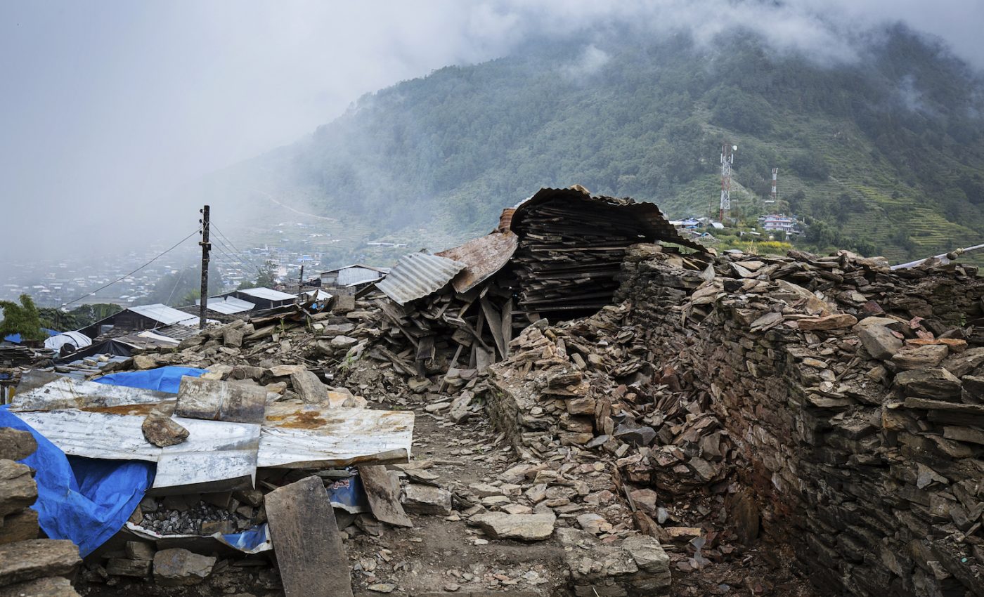
In 2015, the Gorkha earthquake in Nepal registered a moment magnitude (MW) of 7.8, and partially ruptured a 120-km by 80-km patch of the Main Himalayan Thrust (MHT) – a detachment that separates the underthrusting Indian plate from the overriding Himalayan orogeny.
The earthquake occurred in a region known as the Himalayan orogenic belt, which frequently produces large earthquakes that can impact population centers for a distance of over 2500 km.
The Gorkha earthquake in particular has highlighted important questions about Himalayan formation and seismic hazards – including how to distinguish between different possible geometries of the MHT, and how to better define the locations and structural causes of rupture segmentation in the orogenic belt.
To help answer these questions, professor Bai Ling from the Institute of Tibetan Plateau Research of the Chinese Academy of Sciences led a study that found the rupture length of the Gorkha earthquake was likely controlled by spatial variations in the MHT.

Map view of the MHT and a cross-section passing through the Gorkha earthquake. Image Credit: BAI Ling
The study combined seismic waveforms from several different deployments – including 22 seismic stations ITP had deployed along the China-Nepal border with an average elevation of 4.5 km prior to the earthquake. Researchers were able to determine source parameters of the earthquakes, along with velocity structures and discontinuity topography of the source area by using arrival times and waveform modeling.
Published in Science Advances, results of this study showed that the MHT exhibited clear lateral variation along the geologic strike, with the Lesser Himalayan ramp having moderate dip on the MHT beneath the mainshock are, and a flatter and deeper MHT below the eastern end of the aftershock zone.
Moving forward, the next steps are to image the entire 2,500-km Himalayan front in order to determine the morphology of the MHT and the likely controls of the maximum magnitude of rupture that can be handled in different parts of the convergence zone.
Ultimately, improving our understanding of how these seismic events occur and affect the surrounding areas may help us better predict the events and keep the communities in the area as safe as possible.
—
By Connor Ertz, Earth.com Staff Writer
Main Image Credit: Shutterstock/Studio Pospichal


