Gigantic magma chambers discovered beneath volcanoes thought to be dormant
A new study used earthquake waves to peer under the Cascade Range, revealing persistent pockets of magma beneath several quiet peaks. These pockets are not full lakes of magma, but zones of partial melt where hot rock contains some liquid.
Using distant, or teleseismic, earthquakes and a method called receiver functions, researchers mapped low seismic velocity zones about 3 to 9 miles below the surface.

Lead author Guanning Pang, a postdoctoral researcher in Earth and Atmospheric Sciences at Cornell University, led the work with partners at the U.S. Geological Survey.
Magma under the Cascades
The team modeled how waves scattered beneath each summit, then compared the patterns with simulations to locate each magma reservoir and estimate its size, depth, and melt content.
They found clear signals beneath Mount Rainier, Mount St. Helens, Mount Hood, Newberry Volcano, Crater Lake, and Lassen Peak.
“This reveals compelling evidence of low-seismic-velocity bodies indicative of partial melt between 5 and 15 km depth beneath most Cascade Range volcanoes,” wrote Pang. The analysis points to bodies roughly 3 to 6 miles thick and several miles across.
The reduction in shear-wave speed was large, on the order of 45 to 70 percent, which requires melt to be present rather than temperature alone.
Based on lab-derived relationships, the preferred melt fraction spans about 13 to 32 percent for realistic crack shapes, with lower values possible only for extremely thin sills and dikes.
Persistent melt and imminent eruptions
A crustal reservoir can sit quietly for long periods because the liquid portion often stays below the critical melt fraction, the level needed for magma to move easily.
The authors note that an eruptible state typically requires more than about 35 percent liquid, which the mapped bodies do not presently reach.
Several of the imaged systems lie near the depths where rising magma tends to stall as it cools and crystallizes. That helps explain why a volcano can be dormant at the surface while still holding melt at depth.
The study reports no signs of pre-eruption unrest tied to these bodies, such as swarms of small earthquakes centered within them. Seismicity tends to cluster above and below the slow zone, where the rock is colder and brittle.
Tech upgrades give a clearer picture
Recent network expansion by the USGS Cascades Volcano Observatory (USGS CVO) and partners added dense broadband sensors and infrasound stations around Mount Rainier.
Those upgrades, along with improved processing, gave scientists cleaner, more complete coverage for this style of imaging.
With stronger baselines, the same wave scattering patterns can be tracked through time to watch for changes in the reservoirs. That is useful for focusing monitoring resources where they matter most.
Magma reservoirs in the Cascades
Two sites, Three Sisters and Mount Shasta, did not show the same patterns, likely because station coverage and data geometry were limited.
Separate geodetic uplift west of South Sister in the Cascades range has been recorded in pulses since the 1990s, which means magma is still moving in that region even if teleseismic imaging has gaps.
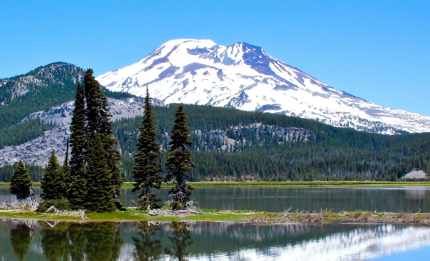
The Crater Lake anomaly aligns with the caldera formed about 7,700 years ago and Mount St. Helens shows a body a few miles southwest of the cone.
Such offsets are common because magma follows the easiest paths through fractured crust, not neat vertical conduits.
Finding long lived reservoirs across different eruptive histories changes how we think about watch lists. It argues for steady, transparent monitoring and clear messaging that melt at depth does not equal an eruption forecast.
It also supports investment in a few well placed stations around lesser known peaks, since this method worked with surprisingly small arrays. Sharper images can reduce false alarms and catch real changes sooner.
Unanswered questions
Seismology senses the average properties of a volume, so it cannot yet tell whether melt sits in thin sheets, connected cracks, or small pockets.
Future work that combines seismic, electrical, and deformation data could narrow that down.
Another priority is mapping how these reservoirs wax and wane across decades. If a body warms, cools, or shifts, those trends could offer early context for any future unrest.
Cascades, magma, and the future
Receiver functions separate tiny P to S conversions created when waves cross boundaries underground, like the edge of a melt rich zone. By stacking many earthquakes, weak signals stand out from noise.
Teleseismic events are distant earthquakes that provide clean wavefronts that sample deep paths under each volcano. The team then compared observations with three dimensional simulations to match the pattern and timing of scattered phases.
Because the polarity of the converted waves flips in a predictable way around a small body, even a handful of stations can locate the target. That is why circular arrays near summits were so informative in this case.
Seismic speeds depend on how melt is stored, not just how much is present. Thin cracks reduce shear speeds differently than rounded pockets, so geometry controls the translation from velocity drop to melt percent.
This sensitivity explains the range of melt estimates reported by the authors. It also explains why the lowest numbers would require odd crack shapes that are unlikely to persist for long in hot rock.
The study is published in Nature Geoscience.
—–
Like what you read? Subscribe to our newsletter for engaging articles, exclusive content, and the latest updates.
Check us out on EarthSnap, a free app brought to you by Eric Ralls and Earth.com.
—–


