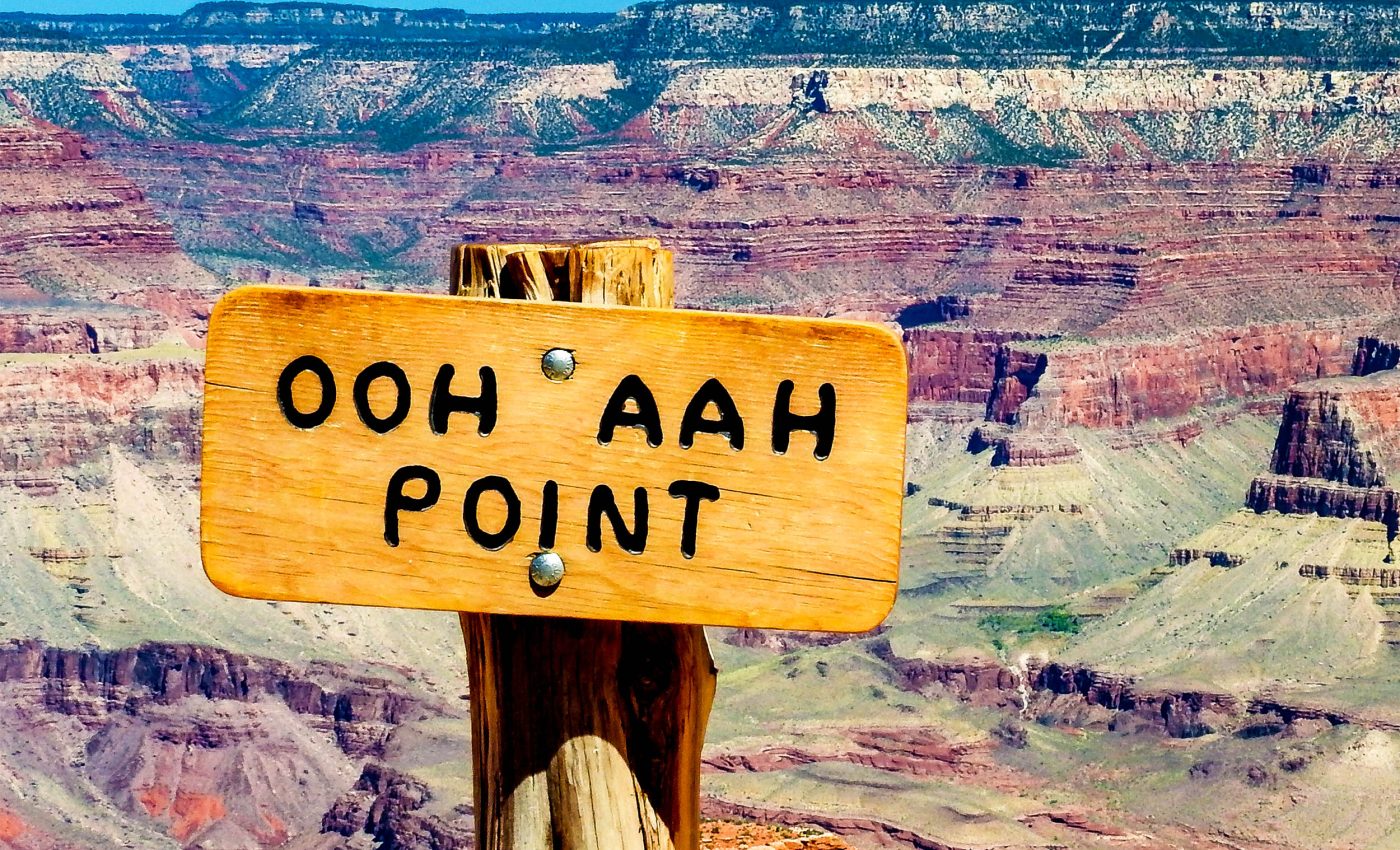
The Grand Canyon is in peril due to uranium mining
The Pinyon Plain Mine lies about six miles southeast of Tusayan, within the Kaibab National Forest, which surrounds the Grand Canyon National Park.
Although this land is now included in the Baaj Nwaavjo I’tah Kukveni National Monument, a uranium ore mine continues to operate because its rights were granted before the monument was established.

To understand why this mine is so closely watched, it helps to picture the geology of the region.
Uranium mining in the Grand Canyon
The Grand Canyon itself is carved deep into the Colorado Plateau, but it doesn’t stand alone. The surrounding landscape includes the Kaibab National Forest, a vast stretch of pine-covered plateau that frames much of the canyon.
On the North Rim, the Kaibab Plateau rises high above the gorge, while other parts of the forest spread around the South Rim.
In this way, the forest isn’t technically inside Grand Canyon National Park, but it is very much part of the canyon’s larger ecosystem – the green shoulders of the canyon’s rocky spine.
Beneath the surface, things get even more complex. Water in the Grand Canyon region moves through rock layers called aquifers.
Some of these are deep and broad, providing water over wide distances, while others are shallow and rest above the main water table.
These shallow zones are known as perched aquifers, because they sit on top of less permeable rock like puddles trapped on a ledge.
Scientists once thought these aquifers were isolated, but research has revealed that faults and fractures – the cracks and breaks in the Earth’s crust – act like underground highways. They can move water between shallow and deep systems, blurring the boundaries between them.
Grand Canyon water and uranium ore
This is where the mine becomes a concern. The uranium ore body at Pinyon Plain is close to those perched aquifers, and if water can travel between layers, contaminants might follow.
Adding to the complexity is the breccia pipe: a vertical column of broken rock created long ago when the ground collapsed inward.
Breccia pipes often concentrate minerals like uranium, but their fractured structure also creates natural pathways for water to flow.
A recent university research update summarizes how faults and fractures guide groundwater between rock layers.
“Faults act as fluid superhighways, connecting upper and lower aquifers that were once thought of as separated by impermeable layers,” said Laura Crossey of the University of New Mexico.
What the numbers say
According to a Forest Service mineral report, earlier drilling outlined about 84,207 tons of ore at roughly 0.97 percent U3O8, or triuranium octoxide, which is a uranium concentrate also known as yellowcake. That estimate equals about 1,633,345 pounds of uranium oxide.
The mine shaft extends to about 1,470 feet, and development focused on reaching the ore and staging on a lined pad. Production choices tend to track market price, so activity has ramped up when prices rise.
Numbers like grade and tonnage describe potential, not outcomes. Actual output and any environmental signal will show up in monitoring data over time.
How monitoring is happening now
The USGS installed a perched groundwater well next to the mine in 2017. Scientists sample that well and a deeper regional well each year.
They analyze major ions, trace elements like uranium and arsenic, and isotopes that hint at water age. Tracking these signals helps detect changes as mining proceeds.
This paired approach watches both the shallow and deep systems. The goal is to spot trends early and understand how water moves through faults and pipes.
Uranium in the Grand Canyon ecosystem
Ore trucks head to the White Mesa Mill near Blanding, Utah, using designated state and federal highways. Transportation must follow U.S. Department of Transportation rules for hazardous materials.
The canyon’s main springs and side streams feed the larger watershed, which eventually joins the Colorado River. Nearly 40 million people rely on that river across the Southwest.
This dependence is why a local hydrology problem can feel like a regional concern. Water connects communities that may be hundreds of miles apart.
The 2023 monument designation closed the door to new mining claims in the protected area. It did not cancel older claims with legally recognized rights.
That legal framework explains why Pinyon Plain is operating now. It also means decisions depend on monitoring results, permit terms, and coordination among agencies.
Communities and scientists will look for clear, transparent data. Reliable numbers, not speculation, will drive trust.
Looking at health and ecological risks
Past uranium operations in the Southwest left measurable traces in people and ecosystems. Studies have linked earlier mining sites to elevated cancer rates and persistent contamination in soil and water.
These histories explain why communities near the Grand Canyon want firm assurances before trusting new monitoring programs.
Wildlife is part of the picture too. Birds, deer, and smaller animals often drink from ponds near industrial sites.
If those ponds collect runoff with uranium or arsenic, the impact can ripple outward through food webs, stressing populations already facing a dry climate.
Public health depends on clean water, steady monitoring, and fast response if conditions shift. Local tribes and towns want proof that safeguards match the geology on the ground.
Science offers tools to test that proof. Regular sampling, shared data, and independent review keep the focus on facts.
—–
Like what you read? Subscribe to our newsletter for engaging articles, exclusive content, and the latest updates.
Check us out on EarthSnap, a free app brought to you by Eric Ralls and Earth.com.
—–


