Tropical Storm Omais continues to weaken over Japan
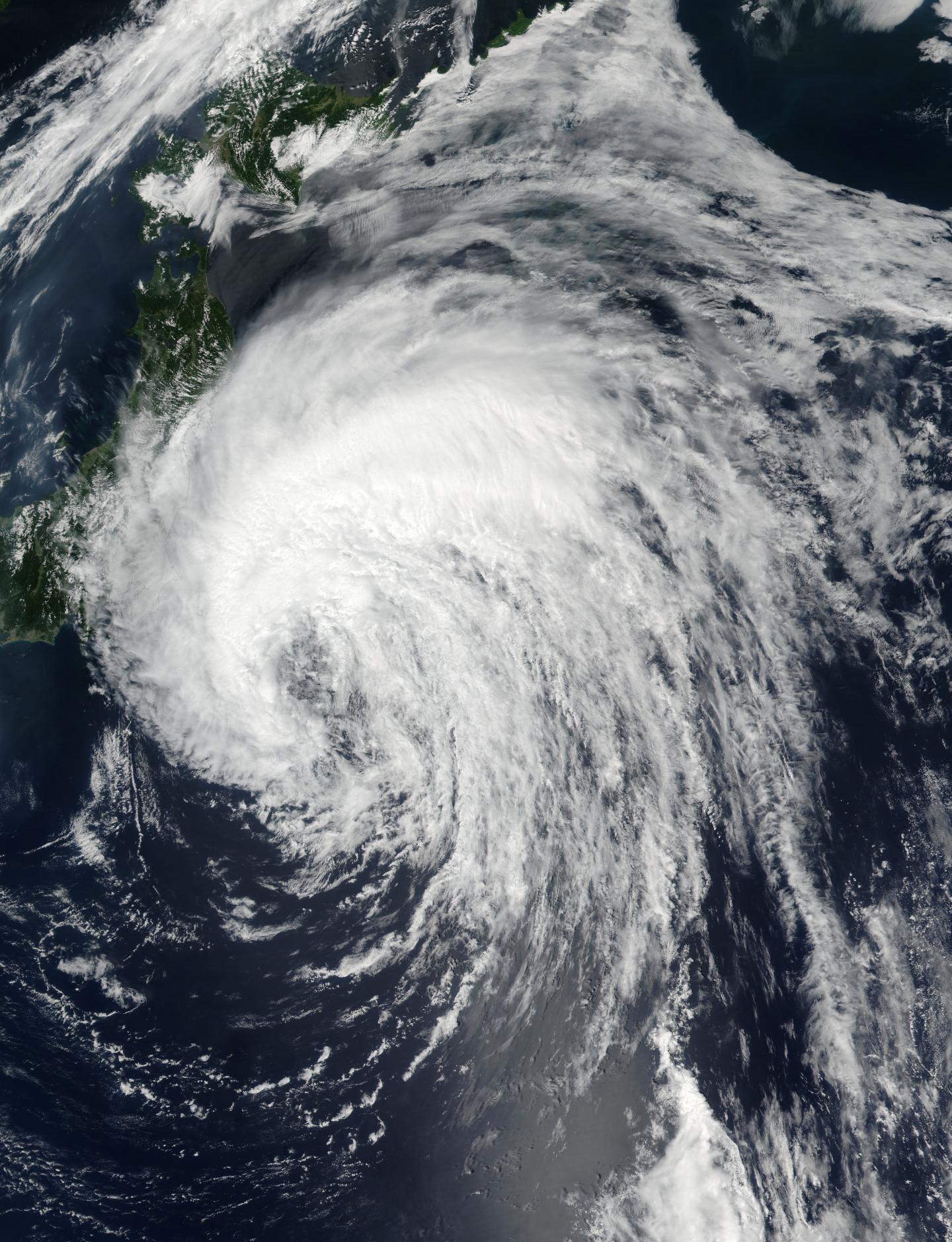
On Aug. 7 at 11:05 p.m. EDT (Aug.8 at 3:05 a.m. UTC) the Visible Infrared Imaging Radiometer Suite (VIIRS) instrument aboard NASA-NOAA’s Suomi NPP satellite captured a visible light image of Omais in the northwestern Pacific Ocean. The VIIRS image showed that the bulk of Omais’ thunderstorms were north and west of the center of circulation. Omais’ center was visible in the image, and the southeastern quadrant seems to be devoid of thunderstorm development. Also Tropical Storm Omais continues to weaken over Japan
A false-colored infrared image from the AIRS instrument aboard NASA’s Aqua satellite showed Tropical Storm Omais’ coldest cloud tops and strongest thunderstorms over northern Japan on Aug. 8. The image also showed that the storm is elongating, which is a sign of weakening. The image was created at NASA’s Jet Propulsion Laboratory in Pasadena, California.

On Aug. 8 at 11 a.m. EDT (3 p.m. UTC) Omais’ maximum sustained winds were near 46 mph (40 knots/74 kph). It was centered near 36.2 degrees north latitude and 144.7 degrees east longitude, about 230 nautical miles east of Yokosuka, Japan. Omais was moving to the north at 11.5 mph (10 knots/18.5 kph).
The Japan Meteorological Agency has posted warnings and watches for northern Japan. To see the warning areas, visit: http://www.
The Joint Typhoon Warning Center expects Omais to curve to the northeast while remaining to the east of the Kuril Islands and transition into an extra-tropical storm over the next couple of days.


