Visit a quarry on Easter Island in 3D without leaving your living room
Easter Island sits alone in the South Pacific, thousands of miles from the nearest continent. Its story is tied closely to the ancient quarry work that shaped its famous statues.
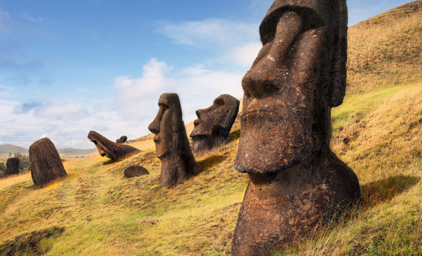
For most people, the island is a name in a book, a spot on a map, or a photo of tall stone faces. The real heart of the place lives in the areas where stone workers once carved those statues out of the volcanic rock.

One of those places is Rano Raraku, a quarry tucked inside a volcanic crater. There, stonemasons shaped almost 1,000 moai. Today, the slopes are steep, the ground is rough, and authorities control the visits carefully.
Now, for the first time, anyone with a basic computer can explore a detailed 3D version of this quarry. Furthermore, it can be done without taking a single step on the site’s fragile surface.
Building a virtual quarry
A research group that included members from Binghamton University, and the University of Arizona, built the high-resolution 3D model of Rano Raraku and shared it with the world.
The model lets people look closely at carved statues, half-finished figures, and the crater landscape in careful detail.
“As an archeologist, the quarry is like the archeological Disneyland,” said Carl Lip, Binghamton University professor of anthropology and lead author of the new paper.
“It has everything you can possibly imagine about moai construction, because that’s where they did most of the construction. It’s always been this treasure of information and cultural heritage, but it’s remarkably underdocumented.”
From wildfire threat to digital rescue
In October 2023, a wildfire burned through parts of the quarry and raised fears about long-term damage.
When the research team reached the island in January 2024, a community group asked them to document the site in case the fire had caused changes they could not reverse.
The researchers included geographers Thomas Pingel and Kevin Heard from Binghamton’s Geography Department.
The team carried out around 30 drone flights over the quarry and captured 22,000 photos at about 100-foot (30 meter) increments. They then used software to stitch these images into a single, 3D model.
“It’s amazing how far and how fast the technology has come,” said Pingel. “The quality of this model is far above what could be done even just a couple of years ago, and the ability to share such a detailed model in a way that is accessible from anyone’s desktop computer is remarkable.”
“The project was of a scale of complexity that had never been attempted before,” added Lipo.
Exploring the quarry without leaving home
Rano Raraku sits inside a volcanic crater that is too steep and rough for people to walk across safely. The new model gives safe access to places that would normally be off-limits.
“You can see things that you couldn’t actually see on the ground. You can see tops and sides and all kinds of areas that we just would never be able to walk to,” said Lipo.
The team describes the 3D version as both a research tool and a global invitation. It gives specialists a 3D replica to study. It also lets anyone, from school students to tourists planning a trip, explore the quarry through their screen.
“We can say, ‘Here, go look at it.’ If you want to see the different kinds of carving, fly around and see stuff there. So it’s really exciting to bring these two things together,” said Lipo.
“We’re documenting something that really has needed to be documented, but in a way that’s really comprehensive and shareable.”
3D model reveals workshop details
Using the digital map, the researchers examined 30 different “workshops” scattered across the quarry.
Each workshop is an area where carvers focused on a cluster of statues, leaving behind patterns of tool marks and half-finished figures.
The layout supports earlier evidence that Rapa Nui society included multiple independent groups, rather than one centralized chiefdom running everything.
“We see separate workshops that really align to different clan groups that are working intensively in their specific areas,” said Lipo.
“You can really see graphically from the construction that there’s a series of statues being made here, another series of statues here and that they’re lined up next to each other. It’s different workshops,” he explained.
Digital quarry matters on the ground
The model gives researchers a way to keep studying Rano Raraku without putting extra wear and tear on the site.
They can measure statues, trace carving patterns, and compare workshop areas from their offices, then focus limited field time on the most important questions.
For a fragile place already tested by fire, tourism, and weather, that kind of protection matters.
Lipo and his colleagues also see the model as a bridge between the island and the rest of the world.
“What we would really like to do is be able to say, ‘Go visit it yourself. Learn from it.’ People on the island are afraid that if we build three-dimensional models that no one will go to the island,” said Lipo.
“But I think this actually will inspire people to go there. Because otherwise, you’re just seeing sort of snapshots of stuff. This is an incredible landscape of stuff that you could really go visit, that you’ll want to see.”
Click here to explore Easter Island using this 3D model…
The full study was published in the journal PLOS One.
Image credit: Maurizio De Mattei
—–
Like what you read? Subscribe to our newsletter for engaging articles, exclusive content, and the latest updates.
Check us out on EarthSnap, a free app brought to you by Eric Ralls and Earth.com.
—–


