Antarctica is hiding hundreds of massive underwater canyons
Submarine canyons are giant valleys carved into the ocean floor, and they play a big role in how the ocean functions. A new study is finally shedding light on some of the least explored ones – those hidden beneath Earth’s icy edges.
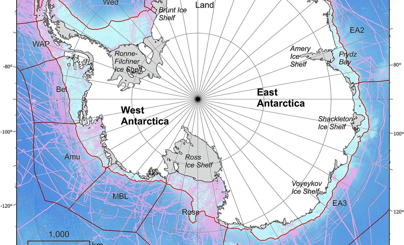
Scientists have created the most detailed catalog yet of submarine canyons in Antarctica, identifying 332 canyon networks, some plunging deeper than 4,000 meters (2.48 miles).

The work comes from researchers at the University of Barcelona and University College Cork.
The study reveals how these deep canyons may affect ocean circulation, melting of ice shelves, and global sea levels. It also uncovers how different East and West Antarctica really are beneath the surface.
Canyons shape ocean ecosystems
Submarine canyons aren’t just geological curiosities. They transport sediments and nutrients from the coast into deeper waters, link shallow and deep ocean layers, and host ecosystems teeming with life.
Roughly 10,000 canyons are known across the globe, but only about 27 percent of the seafloor has been mapped in high resolution. That leaves a lot of room for surprises.
David Amblàs of the Consolidated Research Group on Marine Geosciences at the Faculty of Earth Sciences of the University of Barcelona is the study’s lead author.
“Like those in the Arctic, Antarctic submarine canyons resemble canyons in other parts of the world,” he said. “But they tend to be larger and deeper because of the prolonged action of polar ice and the immense volumes of sediment transported by glaciers to the continental shelf.”
Peering beneath Antarctic ice
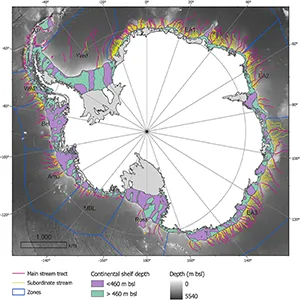
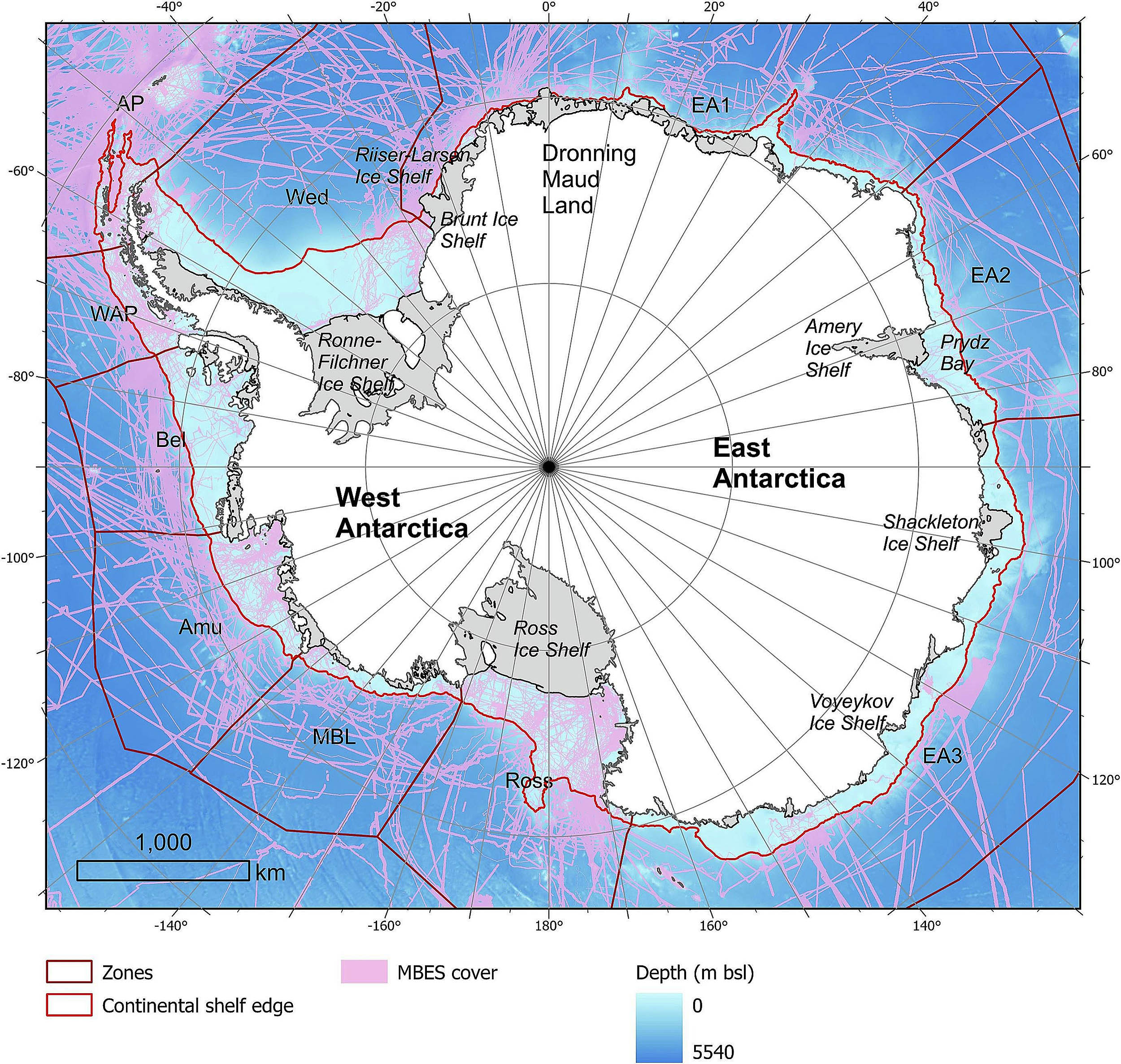
The study used Version 2 of the International Bathymetric Chart of the Southern Ocean (IBCSO v2), the most detailed map yet of Antarctica’s seafloor.
By combining new high-resolution bathymetric data with a semi-automated analysis method, the researchers were able to classify 15 canyon characteristics across the continent.
“Some of the submarine canyons we analyzed reach depths of over 4,000 meters (2.48 miles),” said Amblàs. “The most spectacular of these are in East Antarctica, which is characterized by complex, branching canyon systems.”
“The systems often begin with multiple canyon heads near the edge of the continental shelf and converge into a single main channel that descends into the deep ocean, crossing the sharp, steep gradients of the continental slope.”
Two Antarctic worlds below
One of the key findings of the study was how different the canyons are between East and West Antarctica.
“It was particularly interesting to see the differences between canyons in the two major Antarctic regions, as this hadn’t been described before,” said Riccardo Arosio of the Marine Geosciences Research Group at University College Cork.
East Antarctic canyons formed slowly beneath glaciers, shaped by erosion and deposition, while West Antarctic canyons are steeper and more V-shaped. According to Amblàs, this isn’t just a curiosity – it points to a deeper climate history.
“This morphological difference supports the idea that the East Antarctic Ice Sheet originated earlier and has undergone a more prolonged development,” he said.
Analyzing canyons more effectively
The resolution of the new seafloor map gave researchers the precision they needed to analyze the canyons more effectively.
This high-resolution map enabled more reliable, semi-automated analysis of submarine canyons than earlier, lower-resolution versions.
“We also developed a GIS software script that allows us to calculate a wide range of canyon-specific morphometric parameters in just a few clicks,” said Arosio.
Canyons drive deep currents
The underwater canyons do more than carve up the seafloor. They play a quiet but powerful role in the climate. Canyons help move cold, dense water formed near Antarctica’s ice shelves into the deep ocean.
This process creates Antarctic Bottom Water, which helps drive global ocean circulation. At the same time, the canyons also allow warmer water from the open ocean to reach the coast.
This warm water, called Circumpolar Deep Water, can slip under floating ice shelves, melting them from below and weakening their structure.
Models struggle with canyons
When ice shelves collapse, they no longer hold glaciers in place – and those glaciers can surge into the sea, directly contributing to sea level rise.
The researchers note that today’s ocean models don’t do a good job of simulating what happens in places like this.
Climate models struggle to capture how water moves through complex seafloor features like canyons at local scales.
These missing pieces include current channeling, deep mixing, and other dynamics critical to forming and transforming cold, dense water. Without factoring in these local canyon effects, climate models risk being off the mark.
Canyons still hidden in Antarctica
According to the researchers, gathering high-resolution bathymetric data in unmapped areas will surely reveal new canyons.
The team also pointed out the need for more direct and remote data to improve climate models and make projections about climate change impacts more accurate.
Antarctica still hides many of its secrets beneath the ice and sea. But studies like this are giving us better tools to understand what’s really going on – and what it means for the planet.
The full study was published in the journal Marine Geology.
—–
Like what you read? Subscribe to our newsletter for engaging articles, exclusive content, and the latest updates.
Check us out on EarthSnap, a free app brought to you by Eric Ralls and Earth.com.
—–


