Earth is on pace to surpass 1.5°C temp increase for the second year in a row, passing the point of no return
Global temperatures for April 2025, and all of 2025 thus far, have alarmed scientists and observers around the world. New analyses show that last month ranked as the second warmest April on record, but that’s only a small part of the story.
Some forecasters had anticipated a relative dip this year, but those expectations are fading fast. Earth is now on track to surpass the 1.5°C (2.7°F) threshold, laid out in the Paris Agreement, for the second year in a row.

“The recently ended La Niña event has not provided as much cooling as would typically have been expected,” clarified Robert Rohde, lead scientist at Berkeley Earth.
Springtime conditions across continents reveal only modest relief, and that has drawn wide attention to persistent warming patterns.
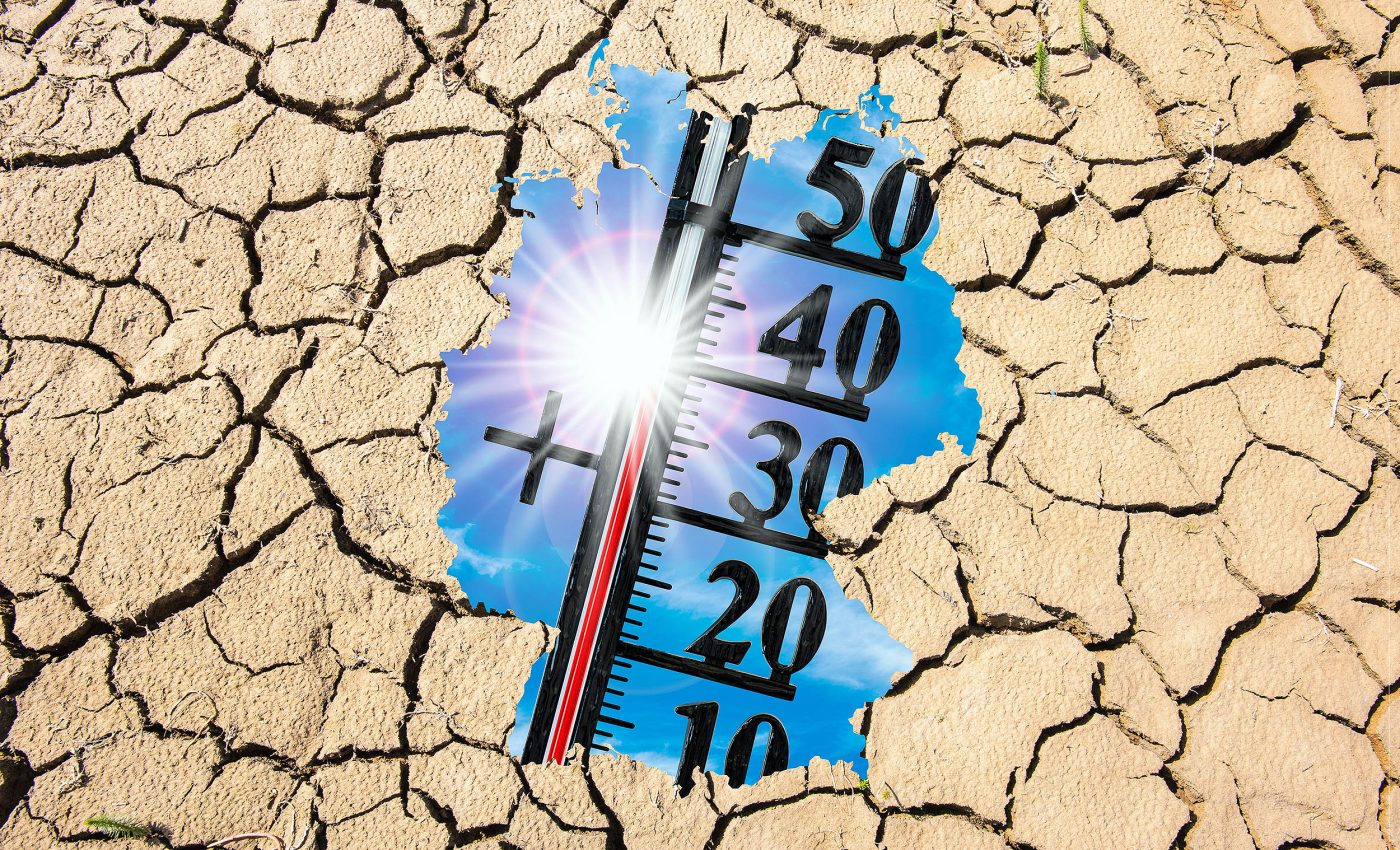
2025 global temperature increases
Studies show that April 2025 was about 1.49°C (2.68°F) warmer than the 1850–1900 average, making it nearly as hot as the record set in April 2024.
Experts also note that 21 of the last 22 months have stayed at or above 1.5°C (2.7°F) above pre-industrial levels, a threshold that has been widely seen as a critical limit.
Analysts have identified that nearly 4% of the planet’s surface experienced its highest April temperature on record this year.
While these scorching conditions varied by region, they point toward a shared warming trend that is unlikely to taper off soon.
Warming patterns around the globe
Land areas posted the warmest average for April since at least 1850, marking an extremely early spike in temperature. Ocean surfaces were not far behind, coming in as the third hottest April and offering little sign of cooling.
Some regions, such as parts of the Middle East, soared to unprecedented highs, illustrating how local warming can easily tip routine weather patterns into record territory.
Experts attribute these anomalies to a long-term rise in temperatures that amplifies even moderate heat events.
2025 on track to be the hottest year ever
Scientists watch the ENSO, which stands for El Niño–Southern Oscillation, because it strongly influences short-term climate trends.
Current forecasts suggest neutral conditions may stick around through summer, though a late-year shift cannot be ruled out.
La Niña events typically bring cooler global conditions, but the most recent episode failed to deliver much relief. Many observers are now eyeing the potential for an El Niño phase to emerge, which could nudge global averages even higher.
Based on current trends in data, there is an 18% chance that 2025 could become the hottest year ever recorded.
Probabilities also suggest a 53% chance that it will secure second place, with a 52% likelihood of exceeding 1.5°C (2.7°F) for the annual average.
These odds highlight how little breathing space remains in the push to keep global temperatures below a 1.5°C (2.7°F) increase limit set by the Paris Agreement in 2015. Many fear that continued highs will make it harder to reverse the momentum.
Global temperatures setting records
Seasonal shifts usually pull temperatures closer to a 30-year LOESS running average, but the latest findings still hover near uncomfortably warm levels.
“Globally, April 2025 was the second-hottest April on record, continuing the long sequence of months over 1.5°C (2.7°F) above pre-industrial,” said Samantha Burgess, strategic lead for climate at ECMWF (European Centre for Medium-Range Weather Forecasts).
“Continuous climate monitoring is an essential tool for understanding and responding to the ongoing changes of our climate system,” she emphasized.
Temperatures also warming in Europe
Europe’s average temperature in April reached about 9.38°C (48.88ºF), making it the sixth warmest April in records that extend back decades.
Much of the continent saw above-normal readings, except for cooler patches in parts of Turkey and northeastern stretches.
West Antarctica followed a warming trend as well, while places in East Antarctica logged lower-than-usual values.
These contrasts highlight the planet’s complexity, where certain zones can register unseasonable chill even during a period of overall warming.
Iran also recorded its hottest April ever, breaking its previous record. This rise is linked to long-term local warming, which has increased by more than 2 °C (3.6 °F) since 1960.
The Arctic is suffering
Arctic sea ice extent fell about 3% below average in April, placing it sixth lowest for the month in satellite records. This decline followed an unusual streak of record-low monthly extents earlier this year.
Antarctic sea ice sat around 10% below average, aligning with the tenth lowest extent for April. Patchy coverage around key coastal areas may influence marine ecosystems that are already under stress.
Heavy precipitation brought flooding and landslides to parts of Europe, while areas like central North America reported drier outcomes.
Local deviations in rainfall can complicate resource management, hinting at the varied impacts tied to wider global warming.
Global temperatures are out of control
Experts continue to stress emissions reductions as the most direct way to contain global temperature increases.
They also emphasize adaptive strategies like reforestation and coastal fortification to lessen the impacts of intensifying heat waves and shifting precipitation.
Global collaboration remains pivotal, yet each region faces its own vulnerabilities. While international agreements aim to keep warming in check, the data suggests that time is running short.
Some advocates call for accelerated funding to equip communities with clean energy and sustainable infrastructure.
If these measures do not gain momentum soon, recent temperature milestones could become recurring markers of an ever-warming environment.
The data was published in the journal Berkeley Earth.
—–
Like what you read? Subscribe to our newsletter for engaging articles, exclusive content, and the latest updates.
Check us out on EarthSnap, a free app brought to you by Eric Ralls and Earth.com.
—–


