Extreme rainfall will continue to intensify as temperatures rise
Rain no longer behaves the way it once did. Across Japan, skies that once poured gently now release torrents capable of reshaping land.
The heat rising from Earth’s surface isn’t just warming oceans or melting ice. It’s thickening the very air we breathe, loading it with invisible water vapor that waits for the right trigger.

Researchers at Kyoto University decided to find out what happens when that trigger hits.
Their work explores how rising global temperatures twist the rhythm of rainfall – and why Japan’s weather is becoming more unpredictable than ever.
Heat changes everything
As air warms, it holds more moisture. That much is clear. But how that moisture becomes rain isn’t so simple.
“We know that the saturation of water vapor increases with temperature at a rate of about 7% per degree Celsius, but not all that water vapor is converted to rainfall, so we weren’t sure this temperature scaling applies to the rainfall amount,” said study first author Sridhara Nayak.
The team used advanced simulations from the Japan Meteorological Agency to study what happens if the planet warms by four degrees. They split Japan into seven regions and examined rainfall patterns across each.
The trend was striking – stronger storms, heavier downpours, and new regional differences in how rain behaves.
Where rainfall builds in Japan
Warm air doesn’t just rain on command. It must rise, cool, and condense before drops form.
The researchers tracked humidity through different layers of the atmosphere and discovered that the lower air – especially around 850 hPa – holds the key.
In this zone, moisture rises in near-perfect sync with temperature, climbing at about seven to eight percent for every degree of warming.
Higher up, though, the air thins out. At around 500 hPa, the connection weakens. The atmosphere there simply can’t carry as much water.
That’s why the biggest rainstorms begin when lower layers are both warm and soaked with vapor. Once the heat spikes too high, the air dries, and rainfall fades instead of intensifying.
Japan rainfall varies regionally
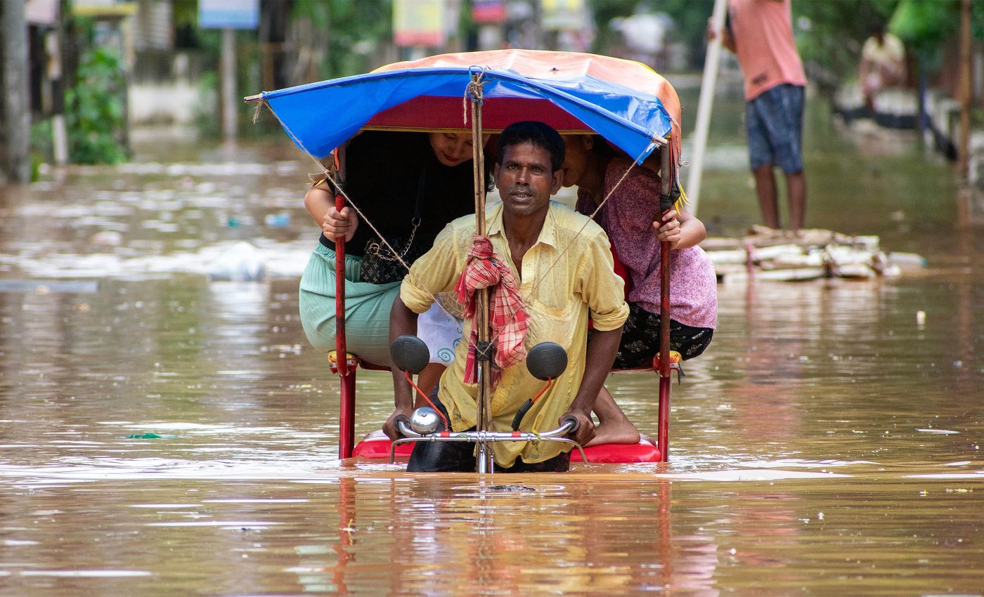
Rain falls differently across Japan. Okinawa gets drenched, sometimes with more than 260 millimeters in a day. The north sees much less. Coastal areas stay humid longer because the sea keeps feeding moisture into the air.
Inland regions dry out faster. That’s why coasts keep their rainfall link with temperature until about 23 degrees Celsius, while interior regions peak closer to 20 degrees.
This contrast shows how geography shapes the impact of climate change. The sea sustains storms, while distance from the coast limits them.
For a country stretched between warm tropics and cold northern winds, that difference means the future of rainfall will not look the same everywhere.
What the future holds
The study projects that Japan’s lower atmosphere will become more humid – by about five grams of water vapor per kilogram of air.
As the air grows heavier, storms will rise higher and hit harder. Stronger vertical movement will carry that moisture upward, feeding more intense rain clouds.
Interestingly, the overall temperature difference between atmospheric layers might not change much. That means the extra rainfall won’t come from instability but from sheer moisture buildup and stronger upward motion.
The engine of future storms will be simple: more water in the air and more power pushing it skyward.
Other forces at work
Warmth alone doesn’t decide how a storm unfolds. Shifts in wind, ocean currents, and monsoon timing will also play their part. Those patterns could make some regions much wetter while leaving others comparatively dry.
“With this in mind, we need to be prepared for the severe impacts of heavy rainfall in the future by creating a plan for climate change adaptation,” says team leader Tetsuya Takemi.
Northern Japan might see gentler changes, but southern regions, especially Okinawa, could face much harsher rainfall extremes.
Similar patterns are emerging worldwide – from Indian cities to Australian coasts – where moisture-laden air turns small storms into major disasters.
Living under a warmer sky
The conclusion is simple enough: hotter air holds more water, and that water will eventually fall. What’s not simple is how communities prepare.
Predicting future rainfall will demand sharper models, better flood planning, and flexible urban design.
Japan already knows what rain can do. The challenge now is to stay a step ahead of it. As climate warms and the air grows heavier, the question isn’t whether storms will come – it’s how ready we’ll be when they do.
The study is published in the journal Scientific Reports.
—–
Like what you read? Subscribe to our newsletter for engaging articles, exclusive content, and the latest updates.
Check us out on EarthSnap, a free app brought to you by Eric Ralls and Earth.com.
—–


