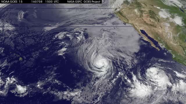
Movie shows Tropical Cyclone Blas fading
Movie shows Tropical Cyclone Blas fading. An animation of visible and infrared imagery from NOAA’s GOES-West satellite from July 9 to July 11 shows Tropical Cyclone Blas weakening to a remnant followed by a strengthening Tropical Cyclone Celia.

The animation shows that Blas had weakened from a tropical storm to a tropical depression by 5 a.m. EDT (0900 UTC) on Sunday, July 10, 2016. At that time, maximum sustained winds had decreased to near 35 mph (55 kph).NOAA manages the Geostationary Operational Environmental Satellites, and NASA/NOAA’s GOES Project at NASA’s Goddard Space Flight Center in Greenbelt, Maryland uses the data from them to create images and animations.
By 11 a.m. EDT on July 10 Blas was considered a post-tropical storm. At that time, the center of Post-Tropical Cyclone Blas was located near 21.3 north latitude and 136.3 west longitude. The post-tropical cyclone was moving toward the west near 10 mph (17 kph).
By July 11, Blas’ remnants were growing weaker and still moving in a westerly direction in the Eastern Pacific Ocean. The remnants are expected to dissipate in a couple of days. Atlantic Pronunciation Guide (PDF) Since 1953, Atlantic tropical storms had been named from lists originatedby the National Hurricane Center. They are now maintained and updated througha strict procedure by an international committee of the World Meteorological Organization. The six lists above are used in rotation and re-cycled every six years, i.e., the 2019 list will be used again in 2025. The only time that there is a change in the list is if a storm is so deadlyor costly that the future use.


