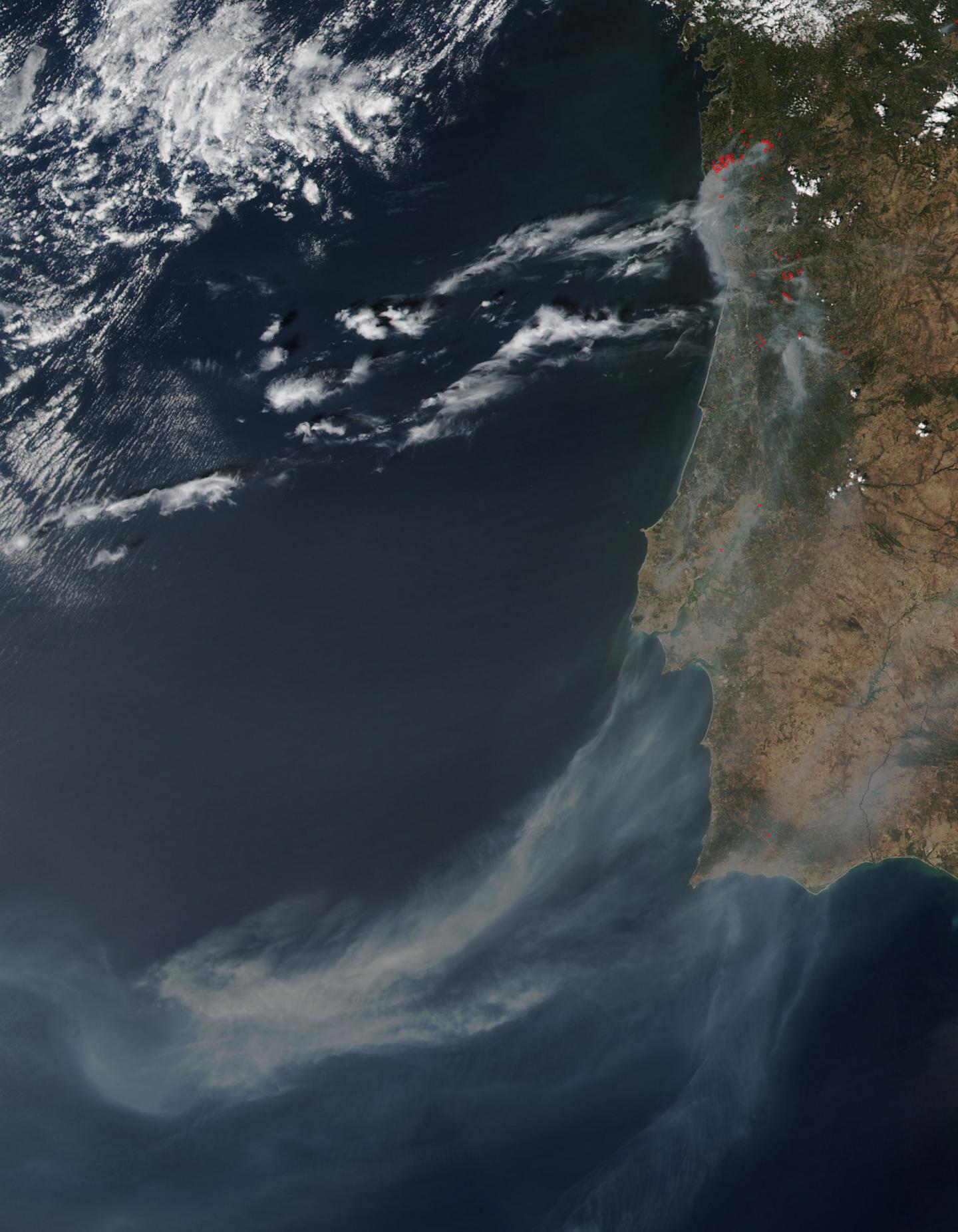
Several large fires burning on Portugal's Madeira Island
This natural-color satellite image was collected by the Visible Infrared Imaging Radiometer Suite (VIIRS) instrument that flies aboard NASA-NOAA’s Suomi NPP satellite. VIIRS imagery identified smoke on Aug. 9 at 8:55 a.m. EDT (12:55 UTC). Actively burning areas are outlined in red.
Madeira is an archipelago of four islands located off the northwest coast of Africa. They are an autonomous region of Portugal.The archipelago includes the islands of Madeira, Porto Santo, and the Desertas, administered together with the separate archipelago of the Savage Islands. The region has political and administrative autonomy through the Administrative Political Statute of the Autonomous Region of Madeira provided for in the Portuguese Constitution. The autonomous region is an integral part of the European Union as an outermost region. Madeira generally has a very mild and moderated subtropical climate with mediterranean summer droughts and winter rain. There are many microclimates courtesy of the elevation changes. Madeira was claimed by Portuguese sailors in the service of Prince Henry the Navigator in 1419 and settled after 1420. The archipelago is considered to be the first territorial discovery of the exploratory period of the Age of Discovery.

The National Civil Protection (NPS) service reports a major forest fire in Portugal’s Madeira Islands. The fire has triggered evacuations of over 400 people. NPS reported that other wildfires have also been burning in the mainland.


