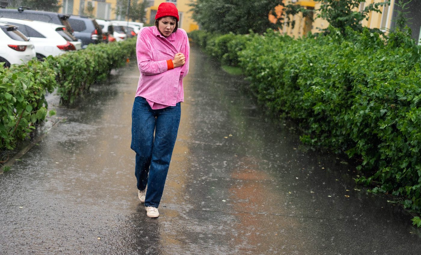
Winter rain patterns are changing faster than scientists predicted
Winter rain across Europe is changing faster than scientists expected. Northern countries are already seeing the kind of wet winters models did not predict until about the 2040s.
A new study of records from 1950 to 2024 shows that human driven warming has sped up these shifts by several decades.

That means winter rainfall over parts of the United Kingdom and northern Europe already matches levels models placed in mid century.
Winter rain is increasing
The work was led by Dr. James Carruthers, a climate scientist at Newcastle University in the United Kingdom. His research focuses on how changing large scale weather patterns reshape rainfall and flood risk across Europe.
Carruthers and his colleagues found that winters in northern and central Europe, including the UK, are becoming significantly wetter.
At the same time, winter rainfall in much of the Mediterranean basin is shrinking, which deepens drought and water stress.
“Our new study shows that winter rainfall is increasing far more quickly than climate models project, reaching levels now that models don’t detect until the 2040s,” said Professor Hayley Fowler, Professor of Climate Change Impacts at Newcastle University.
She warned that delaying action on fossil fuels will put more people in harm’s way. Across Europe, heavy downpours in winter have already become more intense, and they are expected to strengthen as the planet warms.
That pattern appears clearly in recent assessments of extreme rainfall, including work by the UN climate panel’s physical science report, an analysis.
Wetter north, drier south
The new study sharpens a Europe wide picture that has been emerging for years. It reveals striking contrasts in how winter rainfall is shifting from region to region, even within the same country.
Independent work has already connected human activity to this north wet, south dry pattern in European seasons, especially in winter.
Researchers found that greenhouse gas emissions explained much of the contrast between wetter northern Europe and a drying Mediterranean basin, in a paper.
That contrast also appears in official climate projections, which expect wetter winters in northern Europe and less rainfall around the Mediterranean.
These expectations are summarized for policymakers in a regional assessment from the Intergovernmental Panel on Climate Change.
Earlier research using weather observations and models had already spotted a human fingerprint on drying Mediterranean winters and wetter northern storms. That conclusion was highlighted in a Met Office led report on disrupted European rainfall.
Human impact revealed
Rainfall naturally jumps around from year to year because of shifting weather patterns, so teasing out long term change is not straightforward.
The new work focuses on winter because big storm systems are especially important then for moving Atlantic moisture over Europe.
The team used a technique called dynamical adjustment, a method that links daily weather patterns to rainfall totals.
By doing that, they strip away the influence of shifting storm tracks and leave behind the slower change driven by a warming climate.
In the new analysis, the researchers combined weather reanalysis data, national rain gauge networks, and climate model output.
They found that the human driven winter rainfall signal is already about 23 years ahead of model averages, in one study.
This signal comes from anthropogenic warming, extra heat added to the climate system by burning fossil fuels and releasing greenhouse gases.
Warmer air can hold more water vapor, so storms that form in it often carry more moisture and can produce heavier rain.
Winter rain mismatch
Climate models are powerful tools, but they simplify reality and can miss some important processes. Governments still depend on them to plan flood defenses and water systems, so model biases directly shape real world safety.
One key piece is the North Atlantic jet stream, a fast moving high altitude river of air that steers many winter storms toward Europe.
When this jet strengthens or shifts, it can push more frequent and intense storms into northern Europe while leaving southern areas comparatively drier.
Carruthers and coauthors compared their adjusted rainfall trends with current global model ensembles and found that observed changes were often much larger. Other work has likewise shown that many models underestimate winter storminess over the North Atlantic and nearby Europe, in a study.
Natural swings like the North Atlantic Oscillation (NAO), a pressure pattern between Iceland and the Azores, still add a lot of noise.
The new work shows that even after allowing for those ups and downs, the human driven shift in winter rainfall remains very clear.
Rising flood impacts
For people living along rivers, this science shows up as more frequent and severe winter floods that strain defenses and recovery budgets.
Towns like Monmouth in Wales, which has already seen homes evacuated during record high river levels, highlight how exposed many communities now are.
“Future winter flood risk, especially in northern Europe, is likely being significantly underestimated. The level of risk we face today is already greater than climate models indicate,” said Dr Carruthers.
Many drainage systems, culverts, and flood walls were designed for a climate with smaller winter peaks in rainfall than the one now unfolding.
Emergency services and insurers also face growing pressure as events that were once rare now occur several times within a political term.
Further south, reduced winter rainfall leaves less water to refill reservoirs and soils before hot, evaporative summers arrive.
That shift raises the chance of agricultural losses, forest fire danger, and water restrictions even when storms still bring short bursts of intense rain.
Winter rain trends demand action
These results land just as international climate talks struggle to secure stronger promises to phase out fossil fuels.
The science shows that choices made now will shape how much extra water floods European rivers over the next few decades.
“As fossil fuels were taken out of the COP30 decision text, it is vital that politicians understand the science: the risks are accelerating, and delaying action will put more lives at risk,” said Professor Fowler. Her message underlines that adaptation to heavier winter rain must go hand in hand with cutting emissions.
Stronger evidence of today’s risk can support upgrades to flood defenses, smarter drainage in new housing, and better early warning systems.
It can also guide investments in nature based solutions such as restored wetlands, which slow and store water upstream before it hits towns.
Clear communication of this faster than expected shift in winter rainfall can help communities ask better questions of planners, insurers, and elected officials.
As the evidence stacks up, the biggest risk may be assuming that yesterday’s flood statistics still describe tomorrow’s winter storms.
The study is published in Environmental Research Letters.
—–
Like what you read? Subscribe to our newsletter for engaging articles, exclusive content, and the latest updates.
Check us out on EarthSnap, a free app brought to you by Eric Ralls and Earth.com.
—–


