The fascinating coastline of Tahiti
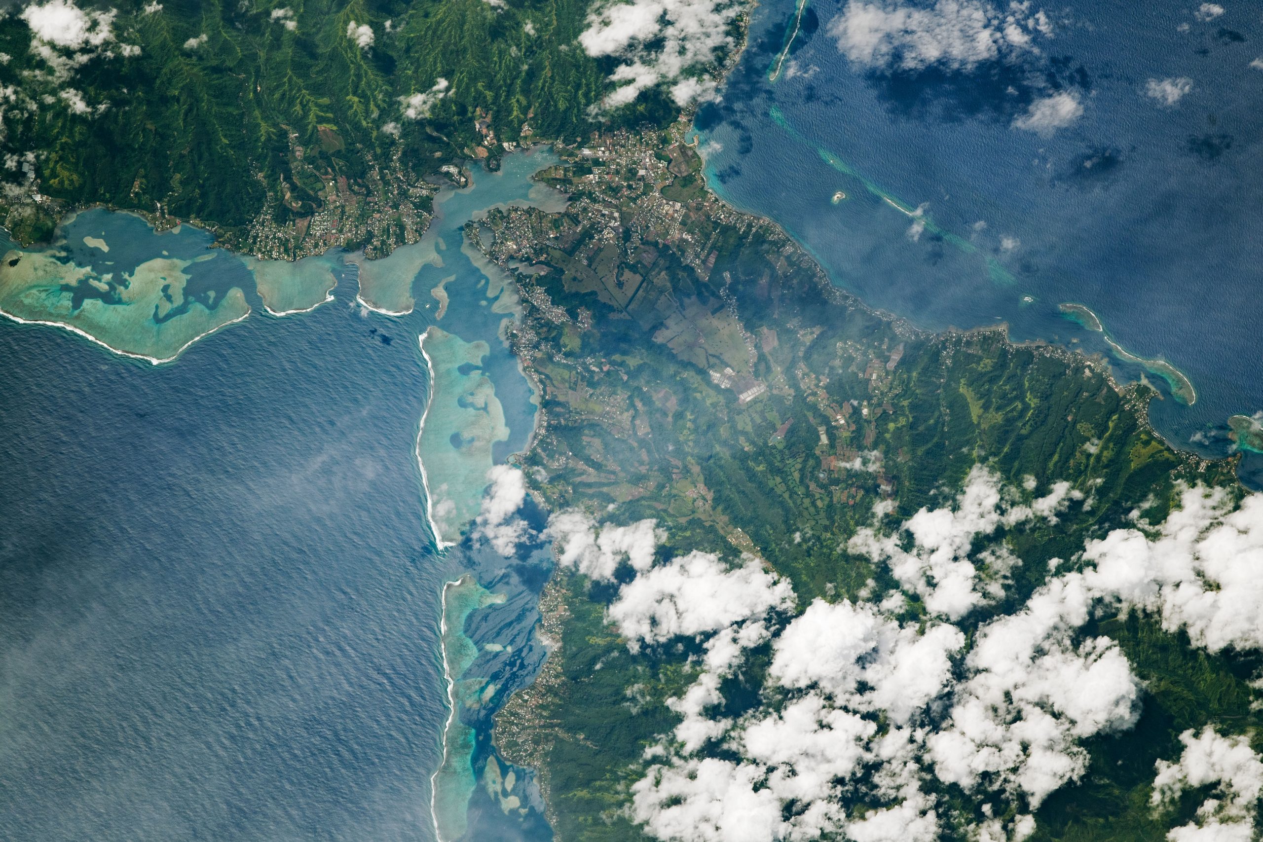

The fascinating coastline of Tahiti. Today’s Image of the Day from NASA Earth Observatory features the coastline of Tahiti, including the Isthmus of Taravao and the surrounding coral reefs. The isthmus connects two ancient volcanoes, Tahiti-Nui and Tahiti-Iti, as well as villages along the coast.
Tahiti is the largest of the 118 islands that make up French Polynesia. The island is known for its breathtaking landscape, which includes dense rainforest and waterfalls.
Most of Tahiti’s population is concentrated along the coast, where sea-level rise and beach erosion are increasing threats to the shoreline. The fascinating coastline of Tahiti. Tahiti is the economic, cultural, and political centre of French Polynesia, an overseas collectivity (and one of two overseas countries, the other being French Guiana) of the French Republic. The capital of French Polynesia, Papeete, is located on the northwest coast of Tahiti. The only international airport in the region, Faa’a International Airport, is on Tahiti near Papeete. Tahiti was originally settled by Polynesians between 300 and 800 AD. They represent about 70% of the island’s population,The island was part of the Kingdom of Tahiti until its annexation by France in 1880, when it was proclaimed a colony of France, and the inhabitants became French citizens. French is the only official language, although the Tahitian language (Reo Tahiti) is widely spoken. The fascinating coastline of Tahiti
Image Credit: NASA Earth Observatory
—
By Chrissy Sexton, Earth.com Staff Writer


News coming your way
