The extreme landscapes of Namibia
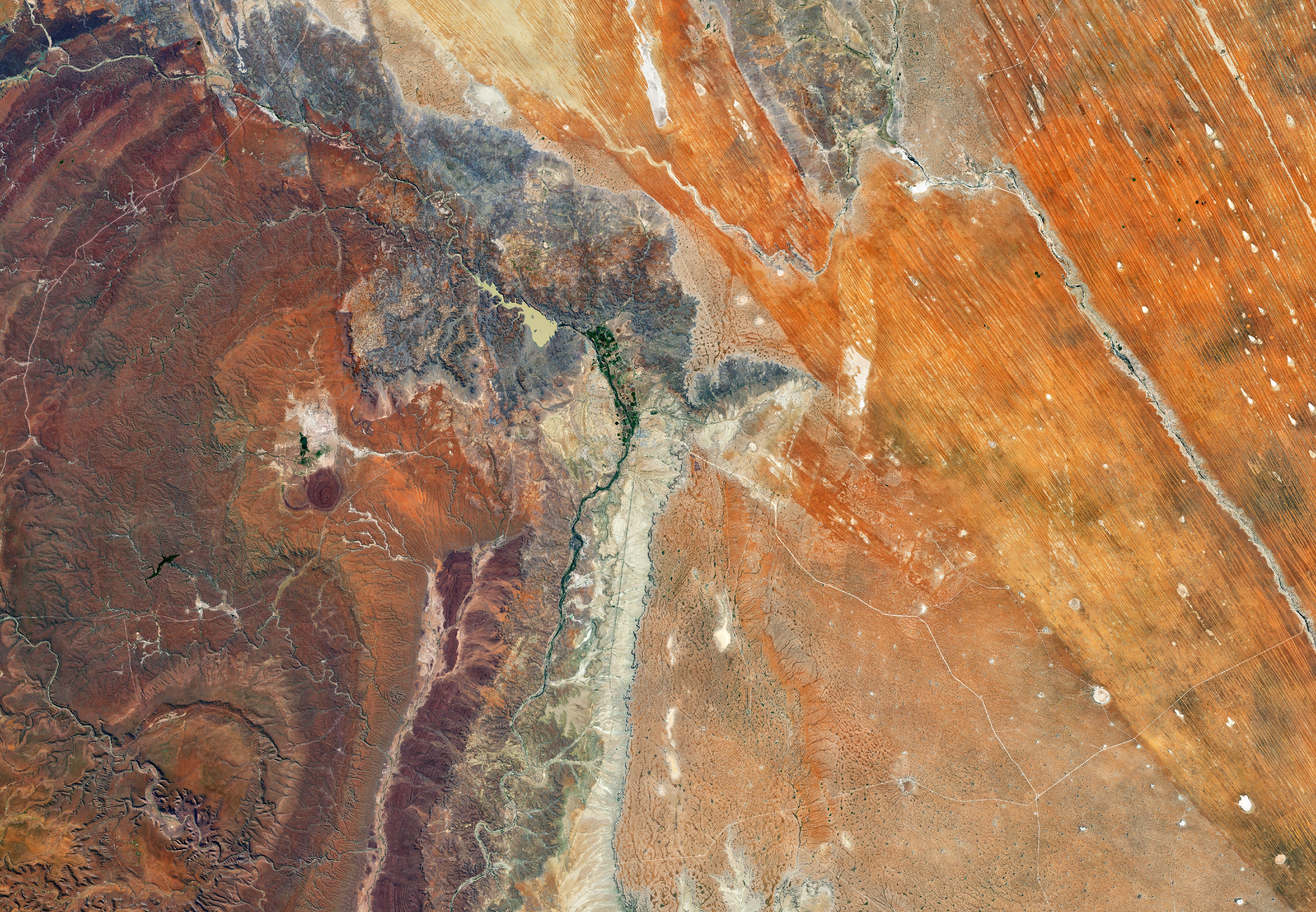

The extreme landscapes of Namibia. Today’s Image of the Day from NASA Earth Observatory features a remarkable view of the contrasting landscapes of Namibia, ranging from rolling hills to coastal deserts.
From north to south, the Central Plateau of Namibia is the country’s most populated region. The plateau includes the capital city of Windhoek and most of the nation’s arable land.
Near the town of Mariental in south-central Namibia, the semi-arid sandy savannah of the Kalahari Desert converges with the rocky plains of the Central Plateau.
The image was captured on May 9, 2020, by the Operational Land Imager (OLI) on Landsat 8.
In 1878, the Cape of Good Hope, then a British colony, annexed the port of Walvis Bay and the offshore Penguin Islands; these became an integral part of the new Union of South Africa at its creation in 1910. In 1884 the German Empire established rule over most of the territory, forming a colony known as German South West Africa. It developed farming and infrastructure. Between 1904 and 1908 it perpetrated a genocide against the Herero and Nama people. German rule ended in 1915 with a defeat by South African forces. In 1920, after the end of World War I, the League of Nations mandated administration of the colony to South Africa. As Mandatory power, South Africa imposed its laws, including racial classifications and rules. From 1948, with the National Party elected to power, this included South Africa applying apartheid to what was then known as South West Africa. The extreme landscapes of Namibia
—
By Chrissy Sexton, Earth.com Staff Writer
Image Credit: NASA Earth Observatory


News coming your way
