The Salmon River in Central Idaho
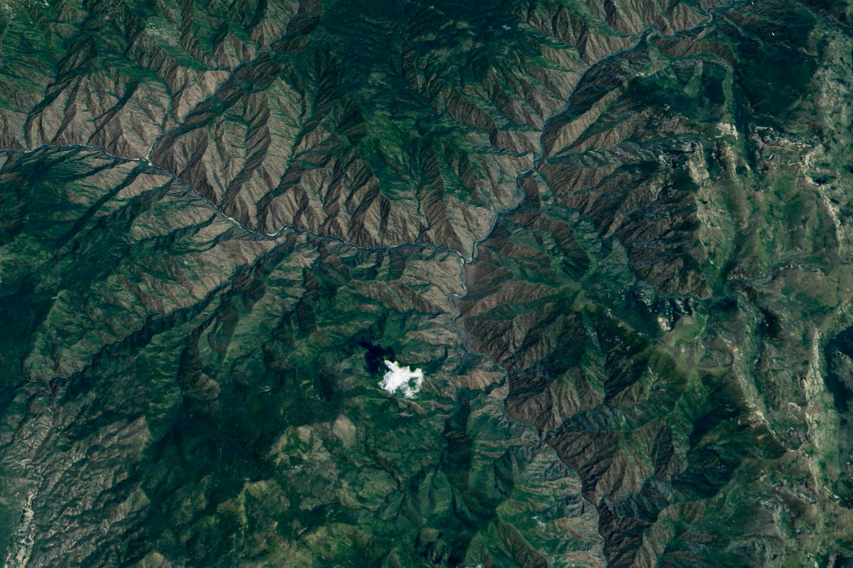

The Salmon River in Central Idaho Today’s Image of the Day from NASA Earth Observatory features the South Fork of the Salmon River in Central Idaho.
The Salmon River is one of the longest free-flowing rivers in the United States, extending 425 miles in the valley of the Rocky Mountains.
Idaho is a state in the Pacific Northwest region of the United States. It borders the state of Montana to the east and northeast, Wyoming to the east, Nevada and Utah to the south, and Washington and Oregon to the west. To the north, it shares a small portion of the Canadian border with the province of British Columbia. With a population of approximately 1.8 million and an area of 83,570 square miles (216,400 km2), Idaho is the 14th largest, the 13th least populous and the 7th least densely populated of the 50 U.S. states. The state’s capital and largest city is Boise.
For thousands of years Idaho has been inhabited by Native American peoples. In the early 19th century, Idaho was considered part of the Oregon Country, an area disputed between the United States and the British Empire. It officially became U.S. territory with the signing of the Oregon Treaty of 1846, but a separate Idaho Territory was not organized until 1863, instead being included for periods in Oregon Territory and Washington Territory. Idaho was eventually admitted to the Union on July 3, 1890, becoming the 43rd state.
Over hundreds of millions of years, the river has carved some of the deepest gorges in the country.
During a gold rush in the 1860s, miners found it so difficult to get boats up the Salmon River that it became known as “The River of No Return.” The Salmon River originates from and flows through the mountains of central and eastern Idaho (Lemhi Range, Sawtooth, Salmon River Mountains, Clearwater and Bitterroot Range). The main stem rises in the Sawtooth Range at over 9,200 feet (2,800 m) in elevation, several miles northwest of Norton Peak.
The image was captured on July 24, 2019 by the Operational Land Imager (OLI) on Landsat 8.
—
By Chrissy Sexton, Earth.com Staff Writer
Image Credit: NASA Earth Observatory


News coming your way
