Thick cloud layers cover the southeastern United States
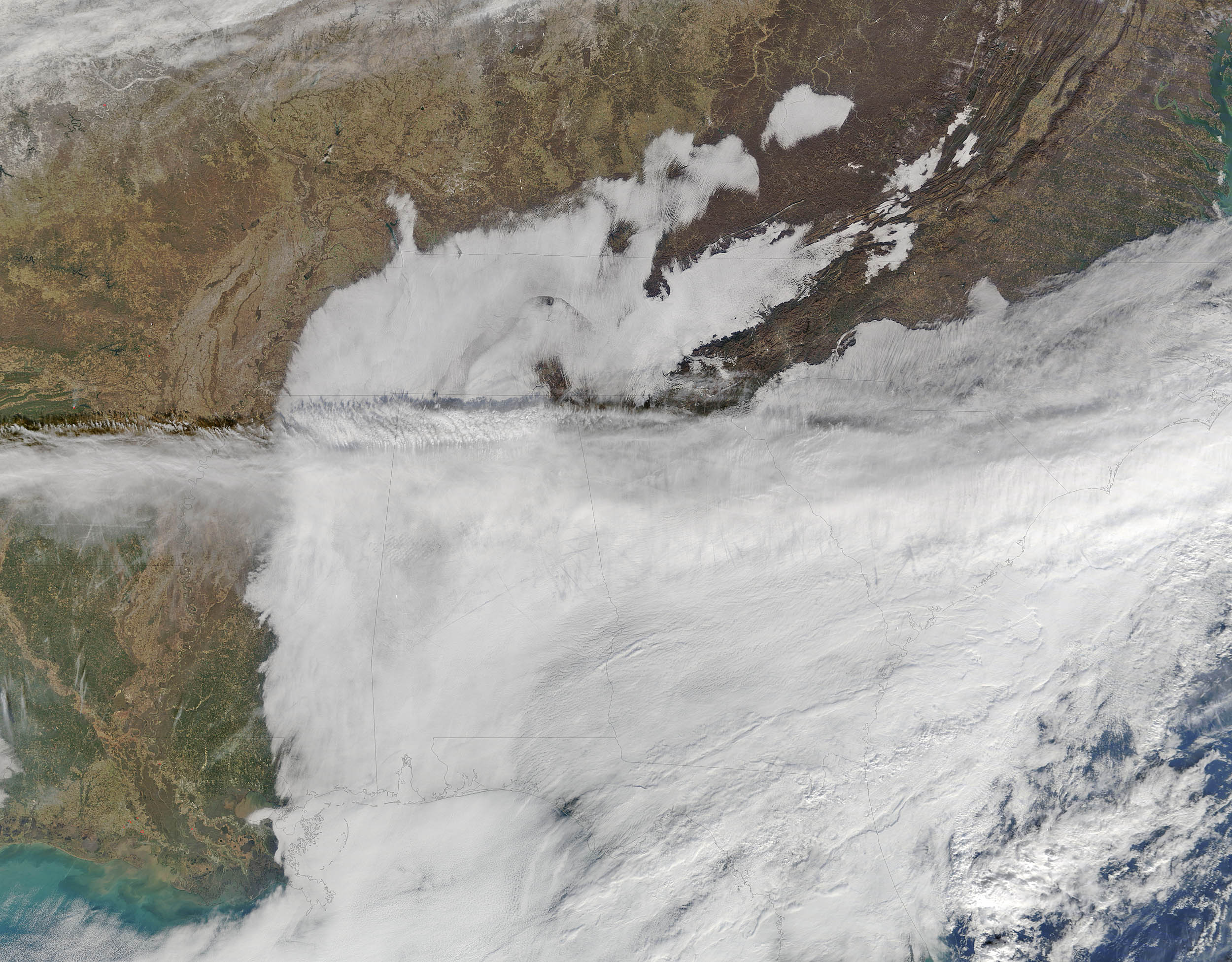

A stalled cold front in late December 2016 brought frigid weather and thick cloud layers to the southeastern United States. The Moderate Resolution Imaging Spectroradiometer (MODIS) aboard NASA’s Terra satellite captured a true-color image showing thick, cloud layers on December 20.
In this image, fog hangs in the Tennessee Valley, with the fog bank stretching from the northeast to the southwest, then turning southward. Higher cloud layers are seen extending from the west to the east and joins the frontal system which lies roughly over the coast.
The Appalachian Climate Center reported that a warm layer aloft was generating a strong inversion, trapping lower clouds beneath it. The fog was said to be primarily orographically generated, meaning that it was formed as moist air rose upward and became saturated. Weather advisories for much of the northern Tennessee Valley warned of thick, freezing fog. Riming – the formation of a layer of tiny, white, granular ice particles – caused by the rapid freezing of supercooled water droplets when they impact an object.
Forecasts in parts of Tennessee, eastern Alabama, and other parts of the southwest called for rain, or freezing rain in addition to fog. The higher-level clouds were responsible for the precipitation.
—
Credit: Earth.com Staff/NASA


News coming your way
