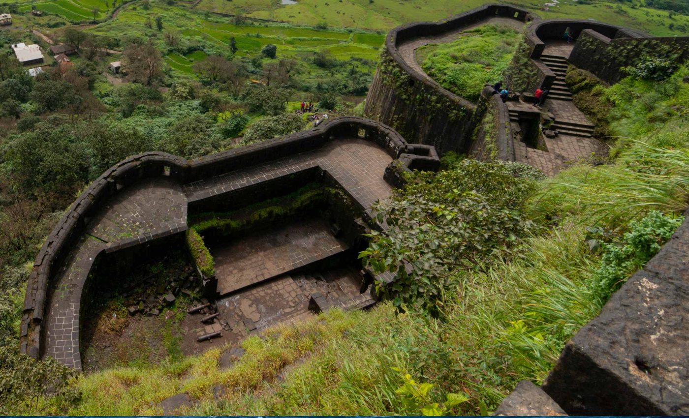
5,000-year-old fort hidden in the jungle confirms sophistication of ancient societies
Researchers have identified a hidden defensive structure deep in the forests of Neamț County, Romania. They used drones equipped with LiDAR (light detection and ranging) technology to map the terrain through dense foliage, and revealed evidence of an elaborate feature from around 5,000 years ago.
This discovery might date back to the late Neolithic, a stage of prehistory that stretched from about 8,000 B.C. to 3,000 B.C., and it shows how early societies managed to build strong barriers in tricky places.

Experts believe the structure had protective functions during a time of social shifts that occurred before the start of the Bronze Age – which began around 3,000 B.C.
The project was supervised by archaeologist Vasile Diaconu, who is affiliated with the Neamț County Museum Complex.
Finding hidden structures with LIDAR
LiDAR has proven valuable in many archaeological projects, from spotting hidden Mayan roads in Central America to mapping temple complexes in Southeast Asia.
Researchers depend on these laser-based surveys to penetrate thick vegetation and capture precise ground elevations.
“LiDAR coverage provides the means to detect subtle anthropogenic features beneath a dense tropical forest canopy,” stated Arlen F. Chase, from the University of Nevada, Las Vegas (UNLV).
This method also limits the need for extensive on-site clearing, which saves time and preserves delicate ecosystems.
Window into ancient societies
Many historians associate the late Neolithic with innovations in agriculture and early social organization. Creating a fortified area in rugged terrain reflects strategic thinking that goes beyond the needs of basic survival.
Differences in pottery styles, burial practices, and settlement layouts from this era shed light on gradual transitions that laid the groundwork for the Bronze Age.
The structure in Neamț County might have served as a hub for trade or a refuge during regional tensions.
“LiDAR scans showed that most of the fortified sites were located in high areas, which had good visibility and were reinforced by ditches and even earthen mounds in order to increase their defensive capacity,” Diaconu said.
“Field measurements indicated that some of these ditches had impressive dimensions with lengths of several hundred meters, which required considerable human effort in the construction.”
Why does any of this matter?
Modern archaeological ventures often rely on partnerships between traditional researchers and specialists in surveying or remote sensing.
This project succeeded because a former student – Vlad Dulgheriu – brought drone expertise to an established excavation team.
“Thanks to current technology and using LiDAR scans I was able to obtain a faithful image of an almost 5000-year-old fortification,” said Diaconu. He believes such measures reveal structures that have stayed hidden for centuries.
This fortification is evidence of the complexity of communities that existed long before metal tools became widespread.
In some cases, even basic wooden defenses or earthworks required sophisticated planning and labor coordination.
Uncovering these features shows the value of integrating new approaches with classic archaeological methods. It also opens more ways to protect cultural heritage sites from vandalism or climate-related threats.
Challenges of LIDAR and hidden sites
Surveying thick forests comes with problems like poor visibility and limited access to remote areas. LiDAR cuts through these barriers, but analyzing data demands specialized skills and advanced software.
Drone-based work can also be sensitive in regions with protected wildlife or historical landmarks, requiring special permits. Once that is sorted out, researchers can process the data to outline potential structures more accurately.
By around 3,000 B.C., societies in various parts of the world were experimenting with copper alloy tools and different forms of governance.
This shift shows how groups often adjusted their lifestyles to local challenges, such as building enclosures or reorganizing their communities.
Implications for regional identity
Neamț County has a reputation for cultural treasures that span from medieval monasteries to centuries-old rural settlements.
This newly revealed fortification could add another layer to local identity, highlighting how human activity shaped these forests long ago.
Any site that merges natural features with strategic design hints at the resourcefulness of its builders. Over time, local communities may explore ways to protect it while promoting thoughtful tourism.
Preserving ancient knowledge
Archaeological archives are full of examples where sites were lost because people lacked the tools to identify them. In today’s world, technology can salvage fragile remnants of earlier civilizations without major disruptions.
Experts also stress ethical responsibilities when revealing newly identified places with significant heritage value. Protective measures must be balanced with the public’s interest in learning about the past.
Continued LIDAR hidden exploration
Scholars anticipate more hidden sites will emerge as scanning tools improve and costs become more manageable.
Each uncovered location can broaden our perspective on how people thrived in challenging climates or landscapes.
Research teams may also turn to other remote sensing methods, such as thermal imaging, to complement LiDAR. That way, various layers of data can combine to form a cohesive record of vanished structures.
As technology evolves, archaeology may make connections between previously unrelated findings. This can enrich discussions about the origins of social hierarchies, trade networks, and cultural practices.
Local institutions might explore new avenues for research and tourism that rely on scanning technologies. This approach will highlight the resilience of ancient populations.
The findings were presented at the Landscape Archaeology Conference in Spain, 2024.
—–
Like what you read? Subscribe to our newsletter for engaging articles, exclusive content, and the latest updates.
Check us out on EarthSnap, a free app brought to you by Eric Ralls and Earth.com.
—–


