99.999% of Earth's deep ocean floor has still never been seen by humans
Most of Earth’s surface lies hidden beneath miles of saltwater on the deep ocean floor. Almost every breath we take and every weather pattern we watch on the evening news depends on what happens there, yet humans have seen very little of it.
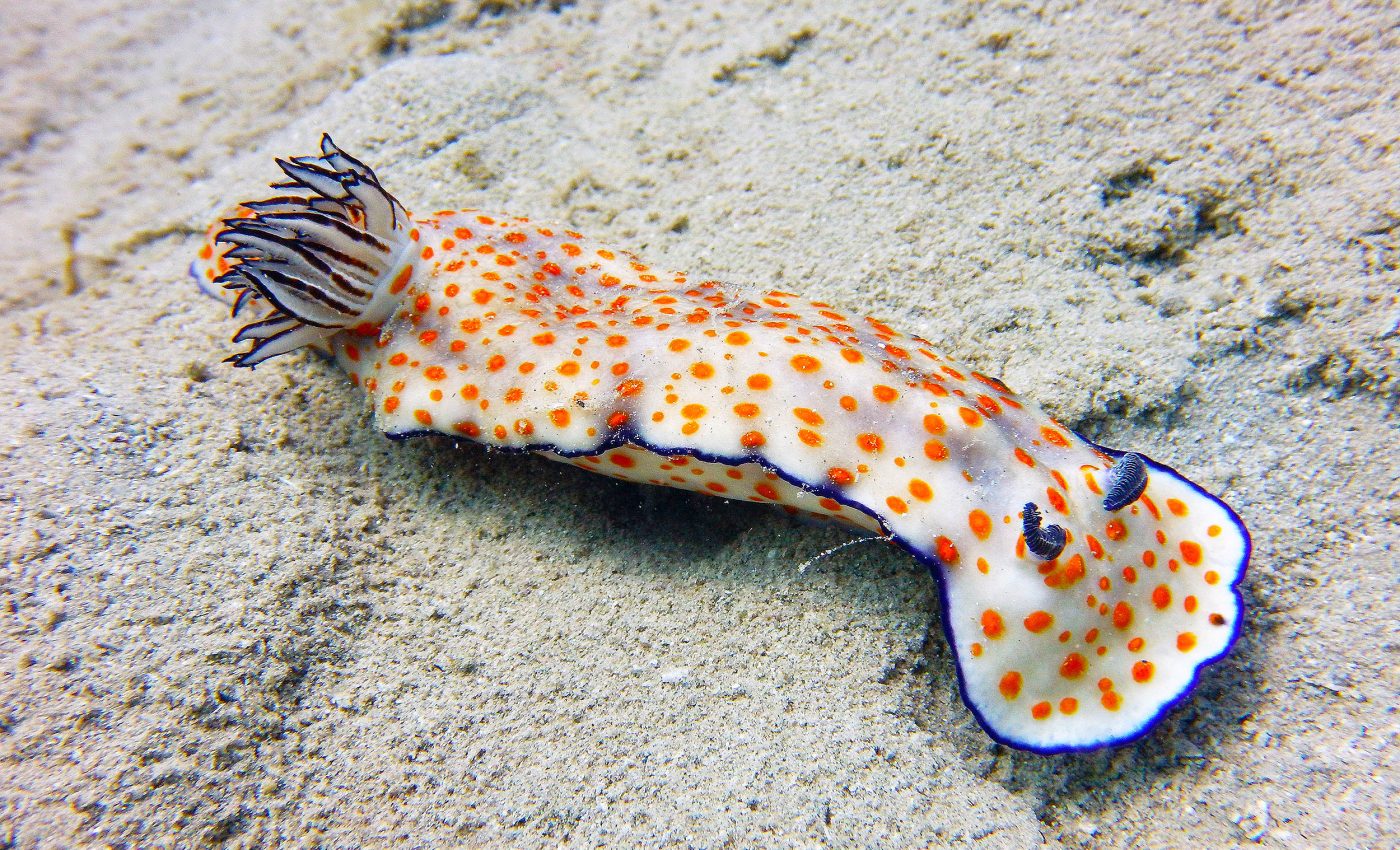
The deep sea – water deeper than about 656 feet – covers two-thirds of our planet, but we’ve seen little of it with our own eyes.

An ambitious new analysis shows how little: less than 0.001 percent of the deep seafloor has ever been photographed.
That fraction is smaller than a single blade of grass on a football field, and it leaves scientists making big decisions from a sliver of evidence.
Earth’s deep ocean is unexplored
Dr. Katy Croff Bell of the Ocean Discovery League led the team that pored over records from roughly 44,000 dives going back to 1958.
She and her colleagues found that, if every picture ever taken of the deep seafloor were stitched together, the patchwork would cover an area about the size of Rhode Island. It is also only one-tenth the size of Belgium, a country many travelers cross by train before lunch.
“As we face accelerated threats to the deep ocean – from climate change to potential mining and resource exploitation – this limited exploration of such a vast region becomes a critical problem for both science and policy,” she says.
Exploration record thinner than hair
The tally of dives might sound impressive until you consider scale. The study looked at 66 percent of Earth’s surface and found that almost 30 percent of all visual observations were captured before 1980, often with grainy black-and-white film.
Nearly two-thirds of the images were taken within 230 miles of the United States, Japan, or New Zealand. Five well-funded nations – the United States, Japan, New Zealand, France, and Germany – conducted 97 percent of documented deep-sea submersible missions.
“If the scientific community were to make all assumptions about terrestrial ecosystems from observations of only 0.001 percent of that total area,” the authors explain, “they would be basing their assessments of all land-based life on Earth on an area roughly the size of Houston, Texas.” The mismatch is staggering.
Deep ocean and daily life on Earth
Deep-sea currents shuttle heat around the globe, shaping the jet stream and steering hurricanes.
Microbes living in darkness help produce much of the planet’s oxygen and store vast amounts of carbon in ocean sediments.
Medicines drawn from deep-sea sponges and corals already fight cancer, infection, and pain.
When warm surface conditions change, the deep absorbs or releases heat, moderating the climate we feel at street level.
Yet policies on seabed mining, carbon storage, and marine conservation often proceed with almost no direct visual evidence of what is at stake.
The technology bottleneck
Cost sits at the heart of the problem. A single day at sea on a modern research vessel can cost more than $50,000, and deploying remotely operated vehicles (ROVs) or crewed submersibles adds many thousands more.
Hardware built to survive pressures that would crush a car must be rugged and thoroughly tested, which inflates budgets. Not surprisingly, most countries choose to spend limited research funds closer to shore.
A new generation of autonomous underwater vehicles (AUVs), however, is changing the calculus. Backpack-size AUVs now map seabeds, hover over vents, and capture high-definition video for a fraction of the cost of legacy systems.
Open-source control software and modular sensor bays make these robots easier to maintain far from large laboratories.
Once such tools move into wider circulation, regions long ignored by oceanographers could come into view.
Uneven map carved by wealth
History shows how priorities follow money. During the Cold War, the United States and the Soviet Union probed submarine canyons in part to understand undersea warfare.
Japan’s focus on nearby trenches and volcanic arcs reflects earthquake research. Europe’s dive records cluster along commercial telecommunication cable routes and proposed mining sites.
All of this skews scientific ideas about what “typical” deep-sea life looks like. Abyssal plains – those seemingly flat regions more than 13,000 feet down – cover nearly half of the deep ocean yet remain among the least photographed places on Earth.
Closing the gap with new tools
“There is so much of our ocean that remains a mystery. Deep-sea exploration led by scientists and local communities is crucial to better understanding the planet’s largest ecosystem,” says Dr. Ian Miller of the National Geographic Society, which helped fund the work.
“Dr. Bell’s goals to equip global coastal communities with cutting-edge research and technology will ensure a more representative analysis of the deep sea. If we have a better understanding of our ocean, we are better able to conserve and protect it.”
Community-based programs already train researchers from small island nations to operate compact ROVs launched from fishing boats.
Low-cost cameras pressure-rated to 20,000 feet can be paired with baited frames to document undiscovered species. Artificial intelligence now sifts thousands of images overnight, flagging potential new organisms for human review.
Future of Earth’s deep ocean floors
Policymakers face a pivotal choice. They can green-light deep-sea mining concessions and expand distant-water fishing with scant imagery to guide them, or they can invest in the tools that pull back the curtain on the largest habitat on Earth.
Every pixel gathered from the abyss fills a yawning gap in our knowledge and, perhaps, in our stewardship.
The deep ocean’s story is still mostly unwritten. With shared technology and broader participation, the next chapter could finally show the full picture rather than a sliver of evidence.
The full study was published in the journal Science Advances.
—–
Like what you read? Subscribe to our newsletter for engaging articles, exclusive content, and the latest updates.
Check us out on EarthSnap, a free app brought to you by Eric Ralls and Earth.com.
—–


