Footprints rewrite the timeline of human arrival in North America
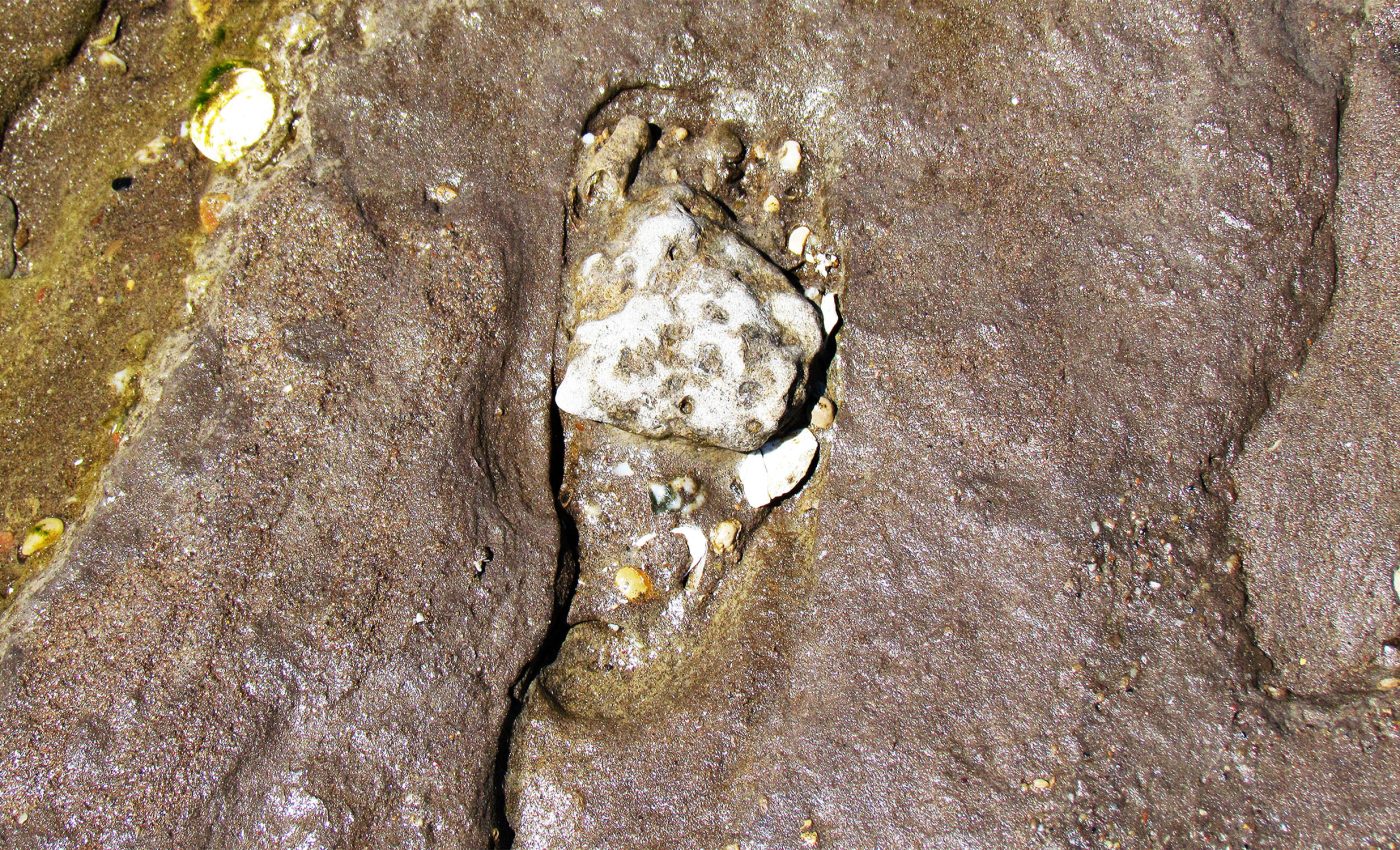
Scientists discovered human footprints preserved in ancient mud at White Sands, New Mexico. These footprints appear to date back to the Last Glacial Maximum (LGM) – a period during the last Ice Age roughly 23,000 years ago when glaciers were at their largest.
This finding sparked a lot of interest because it suggested that humans were in North America much earlier than previously believed. However, some experts questioned the accuracy of the dating methods.

The original study used radiocarbon dating on plant seeds and pollen, which some argued might not have been reliable enough.
A few years later, the same research team returned to the White Sands footprints and obtained new dates from highly reliable sources.
Those results showed the same timeline of 20,000 to 23,000 years ago, reconfirming that humans were present far south of the ice sheets during the Last Glacial Maximum.
Confirming human arrival in North America
Back in 2012, Vance Holliday, an archaeologist and geologist at the University of Arizona, got a rare chance to study one of the most unusual landscapes in America – the otherworldly dunes of White Sands, New Mexico.
Now, Holliday is back again with new research that offers fresh evidence to settle the debate, once and for all. This time, the team used radiocarbon dating on ancient mud found with the footprints. An independent lab handled the analysis.
The results? The mud dated between 20,700 and 22,400 years old – lining up with the original footprint age range. That makes three different materials (seeds, pollen, and now mud) dated by three different labs, all telling the same story.
“It’s a remarkably consistent record,” said Holliday, also a professor emeritus in the School of Anthropology and the Department of Geosciences, who has spent nearly five decades studying early human migration across the Great Plains and the American Southwest.
“You get to the point where it’s really hard to explain all this away,” he added. “As I say in the paper, it would be serendipity in the extreme to have all these dates giving you a consistent picture that’s in error.”
Human life in the Americas
For decades, the story of how humans first arrived in America centered on the Clovis culture. Named after artifacts found near Clovis, New Mexico in the 1930s, this group was long believed to represent the earliest known humans to set foot on the continent.
The Clovis people were thought to have crossed from Siberia into Alaska via the Bering Land Bridge around 13,000 years ago, then spread southward into the rest of North America.
This timeline shaped textbooks, museum exhibits, and generations of archaeological research. It set a clear point of origin for human life in the Americas.
Shifting migration timeline
But the White Sands discovery challenges that foundation. If humans were already walking across the region 23,000 years ago – well before the end of the last Ice Age – then the Clovis-first model no longer holds up.
It suggests people reached the continent thousands of years earlier, potentially by different routes or under very different conditions.
That changes not just when we think people arrived in America, but how they lived, moved, and adapted. It opens new questions about migration patterns, technology, and survival in prehistoric landscapes that looked nothing like the ones we know today.
New story of human arrival in America
Thousands of years ago, the White Sands region was a series of lakes. As the lakes dried, the wind sculpted gypsum into dunes. The footprints were found in the bed of an ancient stream that once fed into one of those lakes.
“The wind erosion destroyed part of the story, so that part is just gone,” Holliday said. “The rest is buried under the world’s biggest pile of gypsum sand.”
To get a closer look, the University of Arizona team returned in 2022 and 2023. They dug fresh trenches through the lake beds.
![The northern Tularosa Basin showing the area of the White Sands (“Gypsum Sand Dunes”), the Alkali Fat deflation basin, modern Lake Lucero, and present-day Lost River, which drains southwest across the distal piedmont until it is buried by the gypsum dunes (see also fig. S4). The 1204-m contour line approximates the proposed extent of paleolake Otero (15). It was likely more extensive given the >4 m of lake beds at “G.” The two field areas (red dots) are as follows: “G” is the area of Gypsum Overlook, the Central study area, and WHSA Locality 2; “Loc 1” is a stratigraphic section along the west margin of Alkali Flat. The brown pattern at G is the area of exposures of deposits linked to paleolake Otero and overlain by truncated Holocene dunes (31). The inset shows the location of the White Sands and the Tularosa Basin within New Mexico [based on figure 1 in (31)]. Image credit: X. Gong and A. Cowart, University of Wisconsin Cartography Lab.](https://cff2.earth.com/uploads/2025/06/21070657/first-human-footprints_white-sands-new-mexico_Alkali-Fat-basin-map_UWisconsin_1s.webp)
Jason Windingstad, a doctoral candidate in environmental science, had previously worked in the area as a consulting geoarchaeologist and agreed to join the project.
“It’s a strange feeling when you go out there and look at the footprints and see them in person,” Windingstad said. “You realize that it basically contradicts everything that you’ve been taught about the peopling of North America.”
The missing artifacts
Of course, one big question still hangs in the air: where are the tools, shelters, or other remains you’d expect from ancient people? It’s a fair concern, the researchers admit.
Some of the footprints were part of quick trackways – paths that could’ve been walked in just a few seconds. That short window of time may explain the lack of material left behind.
“These people live by their artifacts, and they were far away from where they can get replacement material. They’re not just randomly dropping artifacts,” Holliday said. “It’s not logical to me that you’re going to see a debris field.”
Early human arrival in North America
While he always believed the 2021 results were solid, he says it’s good to have new data that reinforces them.
“I really had no doubt from the outset because the dating we had was already consistent,” Holliday said. “We have direct data from the field – and a lot of it now.”
This additional evidence strongly supports the idea that the footprints were made during the Last Glacial Maximum. It gives scientists greater confidence that humans were present in North America much earlier than most theories had assumed.
The full study was published in the journal Science Advances.
—–
Like what you read? Subscribe to our newsletter for engaging articles, exclusive content, and the latest updates.
Check us out on EarthSnap, a free app brought to you by Eric Ralls and Earth.com.
—–


