Satellite images help map economic living conditions, global poverty
Satellites could help the United Nations (UN) achieve its Sustainable Development Goals by providing a clearer picture of living conditions across the world at the household level.
It can be difficult to measure global poverty levels and economic conditions especially in developing nations where population growth is expected to increase rapidly in the coming years.

But if the UN is to stay on schedule with its development agenda which aims to improve quality of life and sustainability worldwide, tracking living and economic conditions is critical. That’s why researchers from Aarhus University in Denmark have turned to satellite data.
A new study published in the journal Proceedings of the National Academy of Sciences shows that freely available satellite imagery can be used to map economic living conditions at the household level in developing nations where this information has not been readily available.
“Based on high-resolution satellite images, we can very precisely assess the status of poverty at household level in rural areas in developing countries,” said Jens-Christian Svenning, the leader of the research.
Satellite data is widely and freely available, making it a valuable resource for researchers with a wide range of applications.
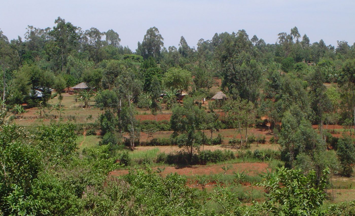
After analyzing imagery from an agricultural area in Kenya, the researchers were able to measure building size, land use, and even the length of the growing season.
“The method that we have developed is designed to analyse the satellite images in a way that takes into account that people have access to and use different resources in the landscape at different levels,” said Svenning .”Some use the area just around their house, while others use the common areas of a village. When we use space data with a socio-ecological insight, we capture the financial status and in this way also the development in an area much better than we have previously been able to.”
Overall, satellite images can explain 62 percent of variations in economic conditions of individual households the researchers say.
Satellite images would be a cost-effective way to keep track of development and poverty as well as household incomes without using surveys or study interviews.
“The use of satellite images makes it much, much cheaper to keep track of how far we are in reaching the UN’s goals for sustainable development. If conventional assessments of the households’ economic conditions were used, the cost would be more than 250 billion dollars,” said Gary R. Watmough, a lead member of the research team.
—
By Kay Vandette, Earth.com Staff Writer
Image Credit: Gary Watmough


