Remote volcano wakes up after 700,000 years of silence
A volcano in southeastern Iran has nudged upward by about 3.5 inches (9 centimeters) in 10 months. This might sound like a small rise but it has big significance.
A new study used satellite data to spot the change and argues that pressure is building near the summit.

The volcano is Taftan. It has not erupted in human history, but the fresh signal says the system is stirring and needs eyes on it.
Studying the Taftan volcano
Scientists tracked the ground with InSAR, a radar method that measures ground motion from space. They used Sentinel-1 satellites that work day and night and can see through clouds.
The Taftan volcano uplift lasted from July 2023 to May 2024 and was centered near the summit. The rise has not fallen back, which suggests the pressure has not yet bled off.
Pablo J. González from the Institute of Natural Products and Agrobiology’s Spanish National Research Council (IPNA), is the senior author guiding the work.
Taftan is remote and lacks on-the-ground instruments such as continuous GPS receivers. That makes space radar the best way to keep tabs on a mountain that few people visit but many towns still flank.
Where the pressure sits
The team modeled a source only 1,600 to 2,070 feet (490 to 630 meters) below the surface. That shallow level suggests the location of gases that move and collect inside a hydrothermal system – where hot water and gas circulate under a volcano.
They tested common culprits and ruled out heavy rain and nearby earthquakes as triggers. The signal rose and slowed without an outside influence, which fits with internal processes acting inside the edifice.
Deeper down inside the Taftan volcano lies the magma reservoir, a large body of molten rock underground.
It sits more than 2 miles (3.2 kilometers) down, so the current push likely comes from gases above it rather than fresh magma reaching the surface.
The pattern looks like a slow squeeze. First the ground rose, then it steadied as new cracks opened and some gas found exit paths.
“Extinct volcano” labels can mislead
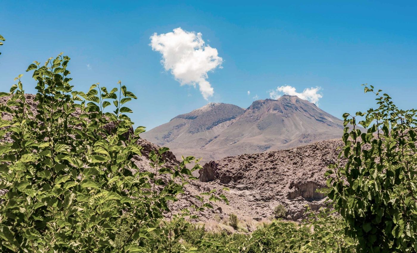
Taftan volcano is a 12,927 foot (3,940 meter) stratovolcano, a steep volcano that is built of layers of lava and ash. It vents through summit fumaroles – volcanic vents that emit gas – which shows the system still moves.
Eruption records for the past 10,000 years are scant, and that is part of the problem. Silence on paper does not equal a dead system in rock and gas.
Volcanoes can idle for long stretches and then change in months. That is why scientists don’t only consider ash plumes as early warning flags. They also pay attention to gas, heat, and ground motion.
Labels help, but measurements matter more. The new deformation is a measurement, not a label.
Uplifts without magma
One likely driver is gas building up in tight rocks and fractures. As gas pressure grows, the rock lifts a little and the summit area responds first.
Another possibility is a small pulse of melt that released volatiles – gases that escape from magma – into the shallower plumbing deep down. Those gases percolate upward and pump pressure into pores.
Both ideas fit the shallow source and the timing. The data also show that, as gas found pathways, the pace of uplift eased.
None of this demands an eruption. It does demand attention, because pressure needs a route out and the route chosen matters.
Taftan volcano risks
The main near-term hazards are not lava flows. They are phreatic blasts – steam-driven explosions that can happen when hot fluids flash to vapor near the surface.
Gas bursts can sting eyes, lungs, and crops downwind for a short time. The city of Khash sits about 31 miles (50 kilometers) away, close enough to smell sulfur when the wind lines up.
“It has to release somehow in the future, either violently or more quietly. This study doesn’t aim to produce panic in the people. It’s a wake-up call to the authorities in the region in Iran to designate some resources to look at this,” said González.
Those are plain warnings, not predictions. The message is to prepare now, while the mountain is whispering, not shouting.
What scientists want to do next
Teams want to measure gases at the vents and on the slopes. Continuous readings of sulfur dioxide, carbon dioxide, and water vapor levels can show if pressure is rising or easing.
They also call for a basic network of seismometers and GPS units to capture shake and slow stretch. Even a modest setup would sharpen timing and reduce blind spots.
Satellites will keep watching. InSAR, a radar method that tracks ground movement from space, can flag small changes that field crews can check within days.
Authorities can plan evacuation routes, make hazard maps, and share simple guidance with nearby communities. Clear steps on paper today cut confusion when conditions change.
Putting the Taftan volcano in context
Taftan sits where one tectonic plate slides under another in a subduction zone. That setting creates magma at depth and gas-rich fluids higher up.
The volcano has two main peaks and long-lived gas vents. These features tell scientists that heat still rises from below.
Many volcanoes around the world show similar, slow changes that never end with an eruption. Others ramp up fast after a quiet phase and need quick action.
The bottom line is that steady, boring monitoring saves lives. It turns surprises into known problems with known responses.
Why satellites are a big deal here
Radar satellites see through clouds and smoke and do not care if it is day or night. That helps in dry, high places where weather is harsh and stations fail.
Sentinel-1 carries C band radar that repeats passes often enough to build a movie of motion. Those repeat viewings are key when the change is only a few inches.
As more satellites fly, revisit times shrink. That gives scientists faster updates when conditions shift.
Space and ground together do the job best. Satellites scan the big picture and instruments on the mountain add detail.
Taftan volcano and the future
If the ground starts to sink, pressure is easing and gas found new exits. If uplift continues or speeds up, pressure is still building and the odds of steam events rise.
If gas measurements jump and stay high, that is another flag. Sharp changes in tiny quakes under the summit would also raise concern.
Scientists will test if the plumbing stayed tight or opened. The answer will guide how large the next gas pulse could be.
For people nearby, simple steps help. Know the wind patterns, keep masks handy for sulfur odors, and follow official guidance.
The study is published in Geophysical Research Letters.
—–
Like what you read? Subscribe to our newsletter for engaging articles, exclusive content, and the latest updates.
Check us out on EarthSnap, a free app brought to you by Eric Ralls and Earth.com.
—–


