Tropical Depression 6E forms in the Eastern Pacific Ocean
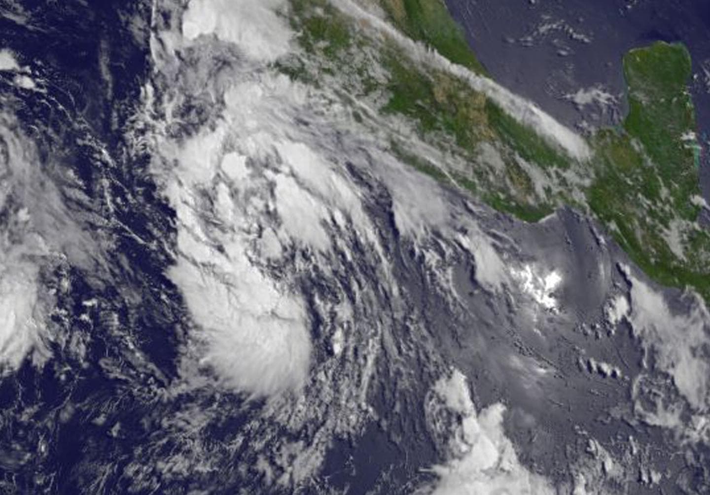
Tropical Depression 6E forms in the Eastern Pacific Ocean. The sixth tropical depression of the Eastern Pacific Ocean formed on July 15 and was captured in an image from NOAA’s GOES-West satellite.
The image NOAA’s GOES-West at 1500 UTC (11 a.m. EDT) showed the center of Tropical Depression 6E (TD6E) about 370 miles (595 km) south-southwest of Manzanillo, Mexico. NOAA manages the GOES series of satellites. The NASA/NOAA GOES Project at NASA’s Goddard Space Flight Center uses the satellite data to create images and animations. Tropical Depression 6E forms in the Eastern Pacific Ocean
Daniel Brown, Forecaster at the National Hurricane Center noted in the Discussion at 11 a.m. EDT “Visible satellite and overnight ASCAT data indicate that the large low pressure area located southwest of the coast of Mexico has acquired a well-defined circulation and enough convective banding to classify the system as a tropical cyclone.”
At 11 a.m. EDT 1500 UTC), the center of Tropical Depression Six-E was located near latitude 14.0 North, longitude 106.3 West. The depression is moving toward the west-northwest near 8 mph (13 kph) and this general motion is expected over the next couple of days. Maximum sustained winds are near 35 mph (55 kph) with higher gusts.
Strengthening is expected during the next 48 hours, and the depression is forecast to become a tropical storm tonight or early Saturday. The estimated minimum central pressure is 1007 millibars.
There are no coastal watches or warnings in effect.


