Tropical Storm Danielle forms along Mexico coast
Tropical Storm Danielle forms along Mexico coast. NASA and NOAA satellites saw the tropical low pressure area formerly known as System 94L, Tropical Storm Danielle develop into tropical depression 4 then become the fourth named tropical cyclone of the North Atlantic Hurricane Season on June 20.
On June 19, the Visible Infrared Imaging Radiometer Suite (VIIRS) instrument aboard NASA-NOAA-DOD’s Suomi NPP satellite captured a visible light image of System 94L as it was consolidating into tropical depression in the Bay of Campeche. System 94L became Tropical Depression 4 by 5 p.m. EDT/4 p.m. CDT when its center was about 190 miles (305 km) east-southeast of Tuxpan, Mexico.
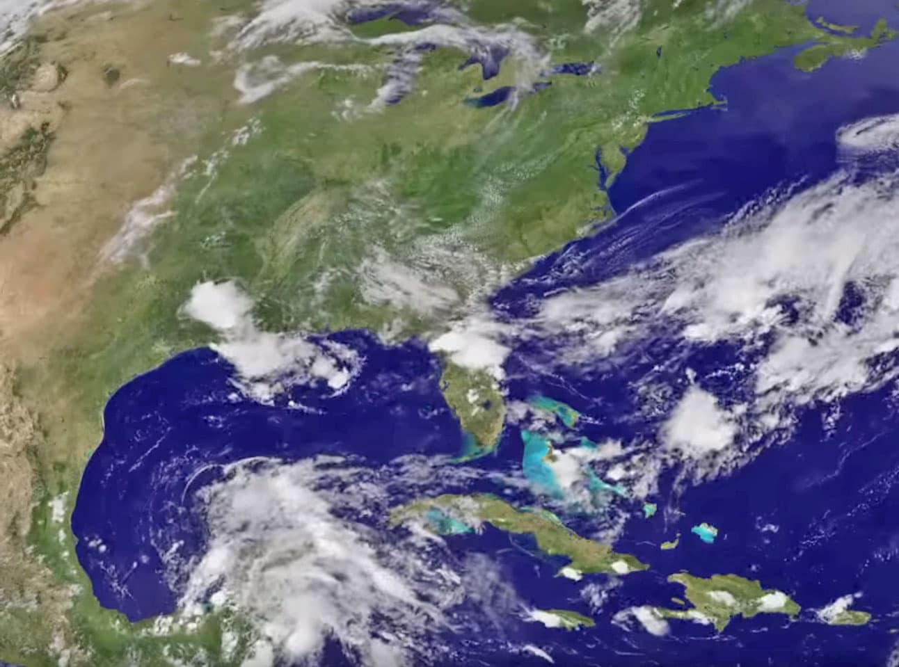
An animation NOAA’s GOES-East satellite imagery from June 18 to 20 was created by the NASA/NOAA GOES Project at NASA’s Goddard Space Flight Center in Greenbelt, Maryland. The animation shows the development of System 94L in the western Caribbean Sea and movement of the storm into the Bay of Campeche and Southwestern Gulf of Mexico where it strengthened into Tropical Depression 4 and then Tropical Storm Danielle.
On June 20 a Tropical Storm Warning was in effect from Laguna Verde to Rio Panuco, Mexico as Danielle was spreading heavy rain across eastern Mexico.
Danielle developed in the Bay of Campeche and moved west toward the east coast of Mexico.
[ooyala code=”JtNjJhNDE6otsZ5HXkx6CBfiyNYA6rd2″ player_id=”ce75157bc770441eaf5e849ae4d1d21f” width=”900″ height=”500″]
At 10 a.m. CDT (1500 UTC) on Monday, June 20, 2016 the center of Tropical Storm Danielle was located near 20.7 degrees north latitude and 96.3 degrees west longitude. That puts the storm’s center about 75 miles (120 km) east-southeast of Tuxpan, Mexico and about 105 miles (165 km) north of Veracruz.
The National Hurricane Center said that Danielle was moving toward the west near 7 mph (11 kph). A motion toward the west or west-northwest is expected during the next day or so. On the forecast track, the center of Danielle is expected to move inland over eastern Mexico later today or tonight. The estimated minimum central pressure is 1007 millibars.
Maximum sustained winds have increased to near 45 mph (75 kph) with higher gusts. Little change in strength is expected before Danielle makes landfall in Mexico later today.
###
For updated forecasts and local effects including rainfall, storm surge and winds, visit: http://www.


