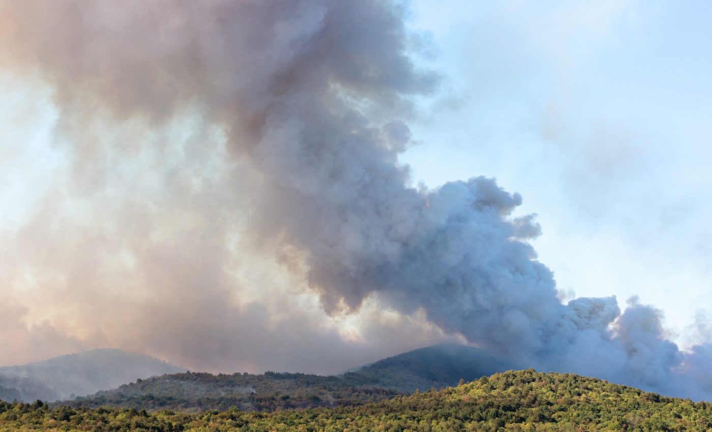
Wildfire danger is rapidly spreading into places we never expected
Climate change is pushing wildfire weather into new territory worldwide. By 2100, up to 91% of the world’s fire-prone regions could face heightened danger.
The team mapped where conditions that let fires ignite and spread are becoming more common. The pattern points to shifts in places many people do not expect.
Measuring wildfire danger

The researchers combined dozens of climate models using a weighted ensemble, a way to give stronger models more influence. That approach keeps useful diversity while filtering noise.
The experts calculated the fire weather index (FWI), a weather-based fire danger score, from temperature, humidity, wind, and rain. Higher values signal more days when fires can start and spread.
The work was led by Carolina Gallo at Coventry University (CU). Her research focuses on climate model evaluation and fire weather projections.
To prevent near-duplicate models from dominating the analysis, the researchers used a performance-and-independence method. Their framework assigns influence according to both performance and inter-model similarity.
The rise of wildfire danger
The results showed that at least 55 percent of fire prone areas are likely to see higher wildfire danger by 2040. By century’s end, the projected increase spans 68 to 91 percent depending on emissions.
Southern Africa, the Mediterranean, northern Asia, northeastern South America, and parts of North America see the sharpest rises.
Under the highest emissions, many places face conditions that had less than a one percent chance in recent decades.
Climate patterns and fire seasons
Seasonal timing is changing in many regions as hotter and drier conditions arrive earlier in the year. That shift creates longer stretches when fuels remain exposed to heat and wind.
Researchers tracking these trends see signs that fire seasons are lengthening in areas that once had predictable quiet periods.
Some regions are now experiencing earlier spring warmups and later autumn drying. Those combined shifts create wider windows for ignition and spread, and the trend aligns with observed heat anomalies in several continents over the last two decades.
Setting the stage for wildfires
Different regions respond to warming in distinct ways as shifts in humidity, wind patterns, and multi-year drought cycles alter how easily landscapes can ignite.
Some areas see a steady drying trend that raises background fire danger, while others experience sharper swings between wet and dry years – building up fuels and setting the stage for bigger burns.
These changes interact with local vegetation and past fire history, which means two places with similar temperatures can still face very different fire outcomes.
The widening gap in regional risk highlights why communities need local data rather than relying on global averages.
Rising fire stress
Some forests are showing signs of strain as repeated exposure to hotter conditions weakens tree defenses.
Certain species lose moisture more quickly during warm spells, which raises the chance that flames can spread through the canopy instead of staying on the ground.
Other landscapes shift toward plants that recover faster after burns, which changes how fuel builds up over time.
These ecological adjustments shape how future fires behave and influence how long recovery takes after each event.
Why this matters for people
Hot and dry extremes are already increasing in many regions according to the latest physical assessment. That makes fuels drier, seasons longer, and windows for escape shorter.
In 2023, a federal report tallied more than 45 million acres burned in Canada. That kind of season strains firefighters, budgets, and air quality across borders.
“Wildfire danger is expanding and intensifying due to climate change,” said Maria Vincenza Chiriacò, a researcher at CMCC and co author of the study.
Predicting future fire danger
The weighting approach cut model bias when compared with ERA5 reanalysis, a unified reconstruction of past weather. That yields maps and timelines that track observed patterns more closely.
To zero in on areas that actually burn, the team defined fire-prone zones using a global fire dataset. This approach excluded deserts and other vegetation-free regions from the analysis.
“This research is a step forward in providing more reliable projections of future fire danger under climate change, so we can better inform policy and planning, especially in regions where it is expected to rise,” said Gallo.
Shared socioeconomic pathways produce different degrees of added risk, but they all point the same way. In many regions, the first clear changes show up by the 2030s.
The study is published in the Journal of Climate.
—–
Like what you read? Subscribe to our newsletter for engaging articles, exclusive content, and the latest updates.
Check us out on EarthSnap, a free app brought to you by Eric Ralls and Earth.com.
—–


