Northern California Before Flooding
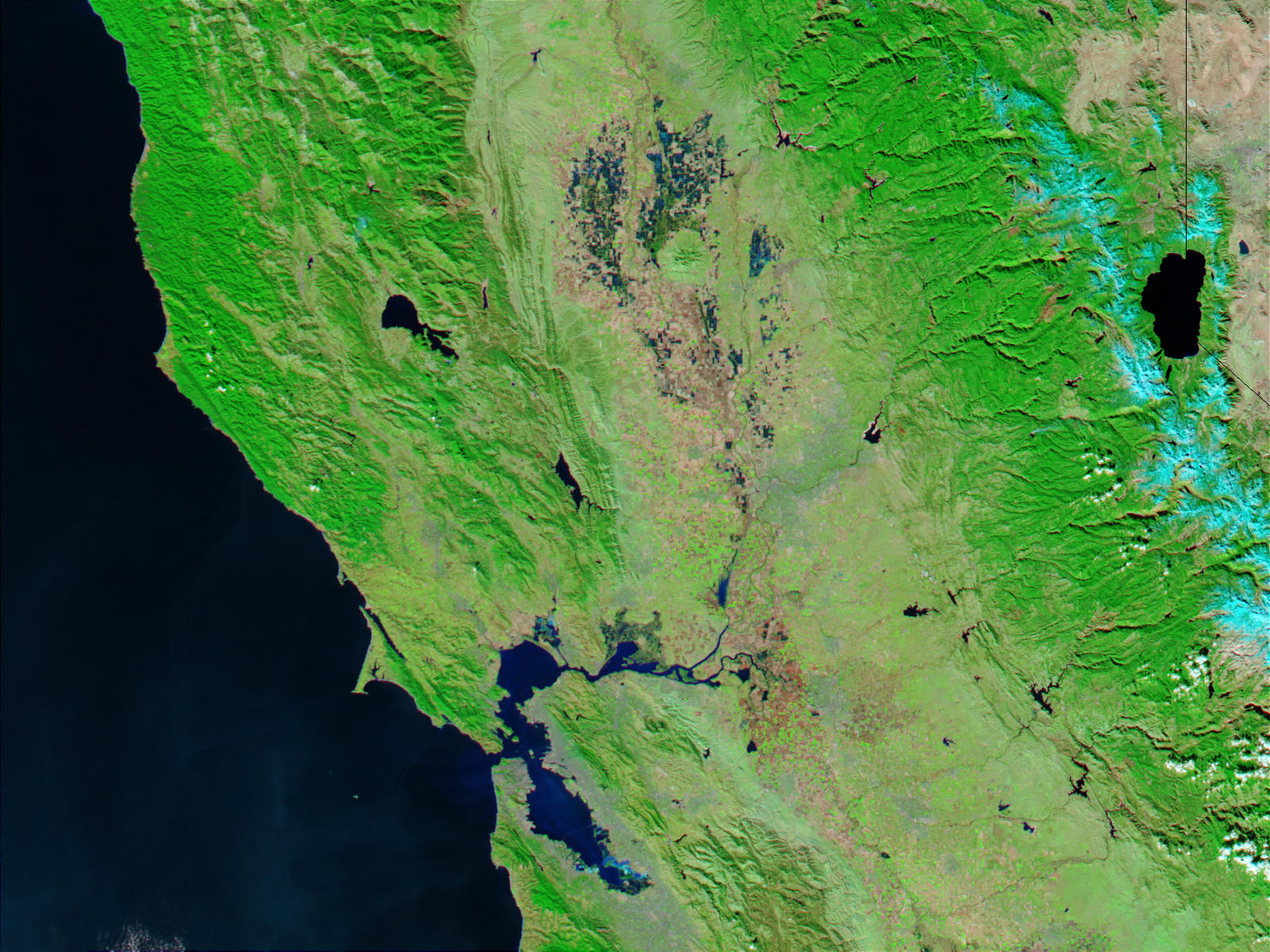

Heavy rains inundated northern California before flooding. Also in mid-December 2002 and gave rise to extensive flooding. The above true color image (right) was acquired on December 18, 2002. Also by the Moderate Resolution Imaging Spectroradiometer (MODIS). Therefore aboard the Aqua satellite. The image shows some of the worst of the flooding around the lakes and tributaries surrounding the Sacramento and Feather rivers north of San Francisco Bay. Normally only small sections of these rivers would be visible in the MODIS image (left, acquired December 2, 2002).
The heavy rains were caused by a series of North Pacific storms called extratropical lows. In many areas, rain totals exceeded 16 inches. The series of storms may be related to a moderate El Nino currently active across the equatorial Pacific Ocean.
Also all the Northern California Before Flooding areas where taken by satellite views. The heavy amount of storms and rain caused massive damage to the area. Therefore the coast area brought more flooding into the area. The city was ran along side the coast line showing massive amounts of rain and heavy storms.
Although this coast line is not known to receive such massive amounts of rain the devastation occurred.


News coming your way
