The Middle East

This MODIS Terra image of the Middle East was acquired on June 5, 2006. The green Nile Delta, in Egypt (to the west) contrasts with the surrounding desert areas.
To the east of the Nile, two forks of the Red Sea surround the Sinai Peninsula. The left branch is the Gulf of Suez – the Suez Canal is visible on this image, running north from the Gulf.
The history dates back to ancient times, with the (geopolitical) importance of the region being recognized for millennia. Also several major religions have their origins in the Middle East.
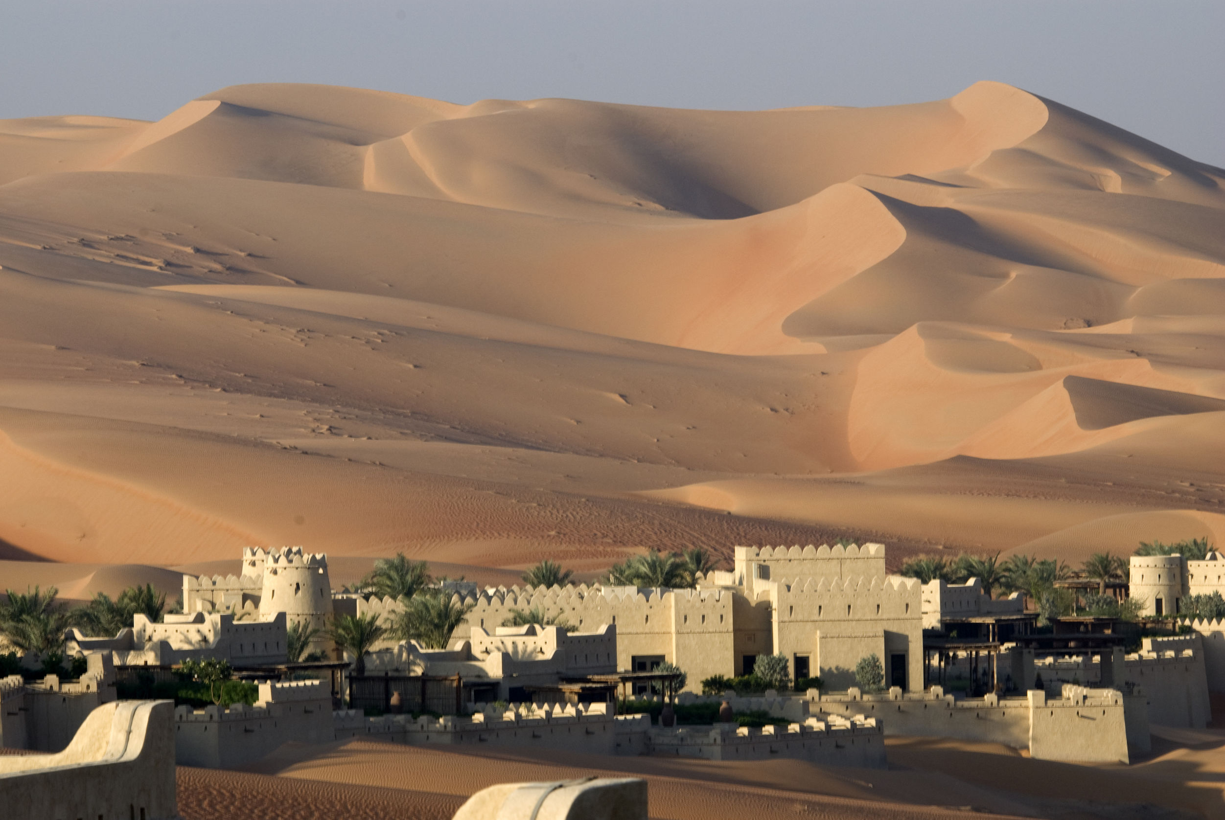
Also it generally has a hot, arid climate, with several major rivers. Therefore providing irrigation to support agriculture in limited areas. The dry deep dunes of the middle east run for miles and cause sand storms for miles.


