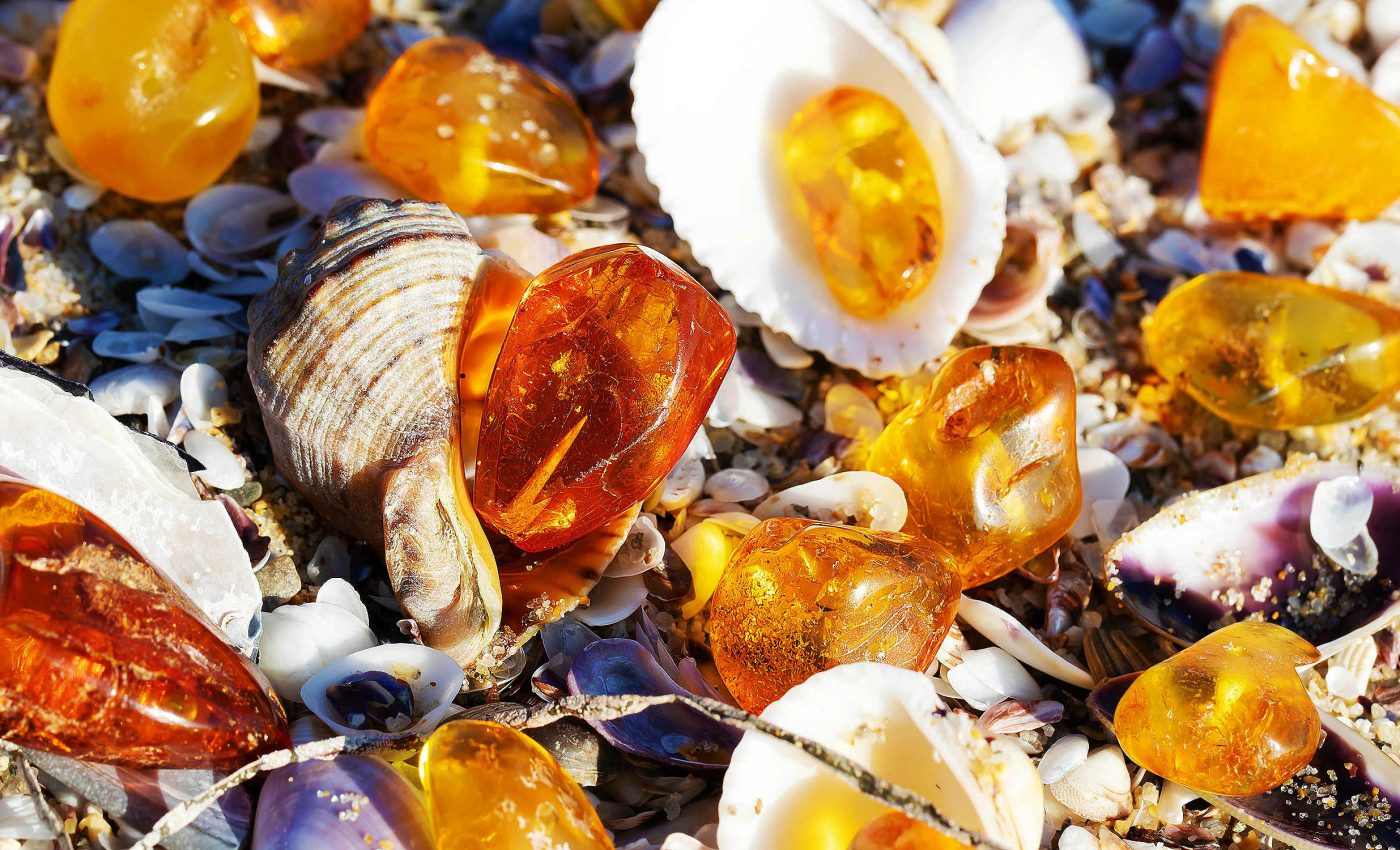
Massive tsunami swept tree resin and amber from an inland forest out into the seabed
A layer of fossilized resin, known as amber, sits in deep‑sea clay and has puzzled geologists for decades. New fieldwork in northern Japan now shows that a tsunami powerful enough to rip coastal forests from their roots hurled that resin into 11,000‑foot‑deep water during the age of the dinosaurs.
Aya Kubota of the Geological Survey of Japan, and her team, traced the resinous material to a 115‑million‑year‑old horizon in Hokkaido’s Shimonakagawa Quarry, matching it to tsunami‑generated turbidites.
Tracing the tree resin trail

Tree resin oozes from bark, traps insects, and usually hardens on a forest floor. Geochemical clocks show that transformation from sticky resin to rock takes at least two million years, yet the Shimonakagawa specimens were still pliable when buried.
Modern tests confirm that resin exposed to air stiffens within about a week, while resin that hits water can stay soft for much longer.
That simple fact let the team work backward, proving that the resin reached the seabed almost immediately after leaving the trees.
“As resin exposed to the air hardens quickly in weeks, the flame deformation of the resin suggests that it reached pelagic seafloors without significant subaerial exposure,” wrote Kubota and colleagues.
Those flame structures, familiar to sedimentologists who study load deformities, appear in the amber exactly where dense sand slumped beneath lighter resin.
Testing a tsunami hypothesis
Amber occurs in thirty stacked beds within the quarry, some only two inches thick and others nearly nine feet, yet every layer sits above calm‑water clay.
Storm waves cannot reach such depths, and river floods leave different grain patterns, so the researchers looked to colossal waves.
“Tsunami deposits are rarely recognized in the geological record, except for geologically young Holocene coastal deposits,” the team added. That scarcity makes each confirmed paleotsunami layer a treasure trove for hazard models.
The tallest tsunami measured in modern times reached 1,720 ft (524 meters) in Alaska’s Lituya Bay in 1958. Even a smaller wave, crossing the ancient Northwest Pacific, could have torn out whole stands of conifer, rafted them far offshore, and dumped their resin as the water retreated.
Clues locked in deep‑sea mud
Besides amber, the Japanese cores contain coffee‑table‑sized rip‑up clasts, broken driftwood more than four feet (1.2 meters) long, and tangled mats of leaves. Each item points to sudden, violent transport from land to abyss rather than slow settling.
Mud cracks on some clasts close upward, showing they dried in air before the wave plucked them from coastal flats.
Microscopic study reveals intact pollen inside the resin, supporting the idea of a rapid ride that spared delicate grains from decay.
Soft‑sediment folds wrap around still‑elastic resin sheets, confirming that the tsunami‑triggered slurry flowed over an already mobile seafloor.
Those folds help explain why the amber sheets resemble squeezed taffy rather than neat droplets.
Tsunami linked to massive landslide
Hokkaido straddles four converging tectonic plates today, and plate reconstructions indicate a similar geometry in the Early Cretaceous.
Kubota’s group links the tsunami to a massive landslide that detached a shallow‑marine carbonate platform some 125 miles (200 kilometers) south of the quarry.
Zircon dating of volcanic ash bracketing the amber shows the catastrophe struck between 116.8 million and 114.8 million years ago.
That window overlaps an interval of heightened plate re‑organization as the Izanagi‑Kula oceanic plate subducted beneath eastern Asia.

Comparable offshore evidence exists elsewhere, including sediment cores that record the 365 CE Crete megatsunami across the Mediterranean basin.
Those parallels strengthen the idea that deep‑water archives can outlast coastal erosion and preserve tsunami fingerprints for tens of millions of years.
Lessons for modern coasts
Today’s engineers map 500‑year floodplains but rarely factor in events of the magnitude inferred at Shimonakagawa.
Kubota’s discovery shows that extreme waves can move entire forests and carve fresh sediment routes to the deep ocean.
By recognizing amber as a tsunami tracer, scientists gain a fresh tool for spotting ancient coastal disasters on continental margins worldwide.
Each new data point refines recurrence estimates and could, eventually, guide zoning in quake‑prone regions.
Forest‑derived carbon delivered to the abyss also hints at hidden climate feedbacks, because buried wood removes atmospheric CO₂ for geologic time.
Understanding that sink requires knowing how often tsunamis act as high‑speed conveyors from land to sea.
Researchers now plan to scan other Cretaceous drill cores for thin orange films that might mark overlooked tsunami horizons. Success could turn a onetime curiosity into a standard indicator for ancient coastal risk.
Full details of the study are published in the journal Nature.
—–
Like what you read? Subscribe to our newsletter for engaging articles, exclusive content, and the latest updates.
Check us out on EarthSnap, a free app brought to you by Eric Ralls and Earth.com.
—–


