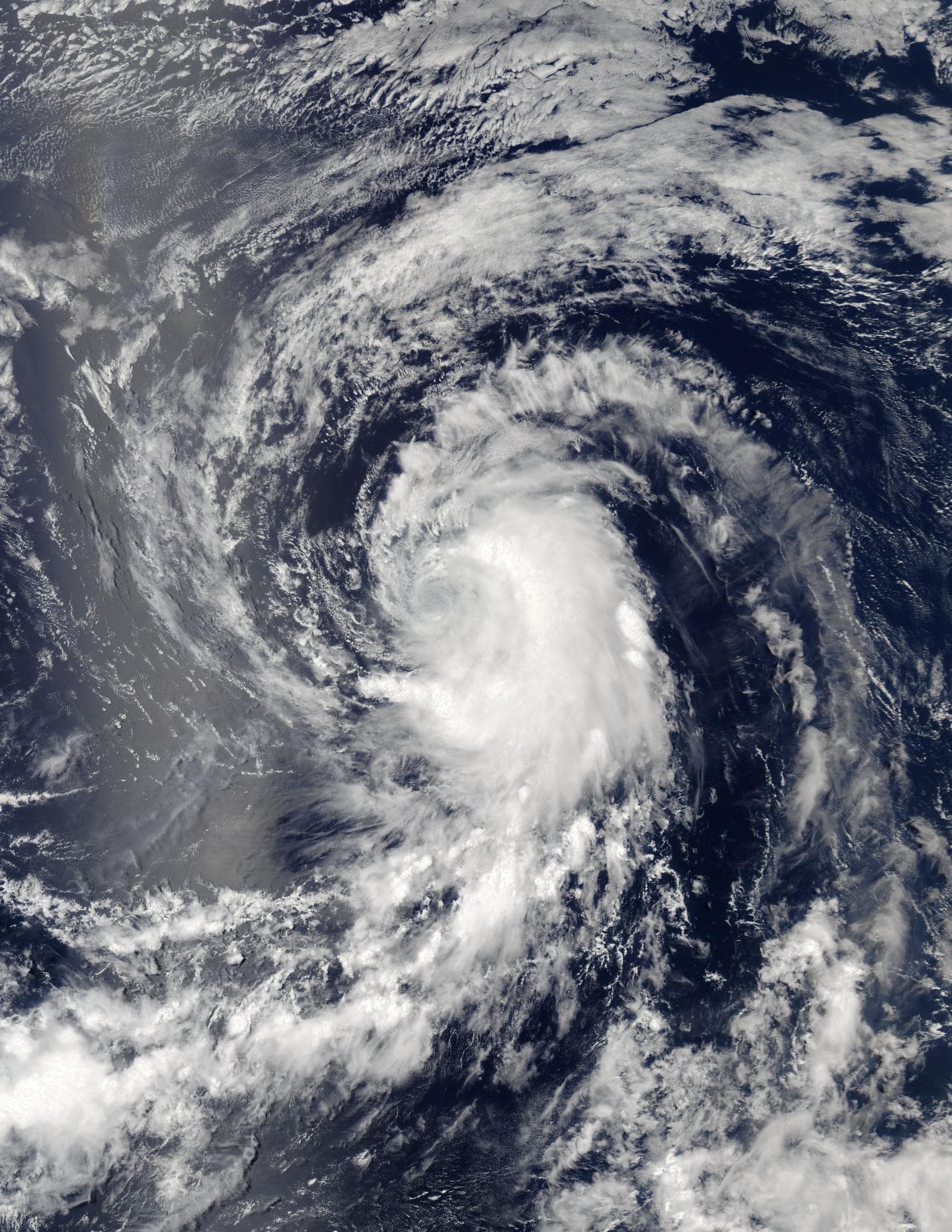
Tropical Storm Howard continues moving west
On Aug. 1 at 5:55 p.m. EDT (9:55 p.m. UTC) the Moderate Resolution Imaging Spectroradiometer, or MODIS, instrument aboard NASA’s Aqua satellite captured a visible image of Tropical Storm Howard in the eastern Pacific Ocean. The image showed the bulk of thunderstorms east of the center of circulation. The image was created by NASA’s MODIS Rapid Response Team and NASA’s Goddard Space Flight Center in Greenbelt, Maryland. Tropical Storm Howard continues moving west
Aqua’s Atmospheric Infrared Sounder, or AIRS, instrument gathered infrared data on the storm and vicinity on Aug. 2, 2016, at 6:05 a.m. EDT (10:05 a.m. UTC). AIRS data measured temperatures in Howard’s cloud top and the surrounding sea surface.
AIRS data showed that Howard’s center is now moving over sea surface temperatures between 77 and 78.8 F (25 and 26 C). The National Hurricane Center noted that Howard should reach waters cooler than 75.2 F (24 C) in about 24 hours.
AIRS data showed Howard’s coldest cloud top temperatures were still in excess of minus 63 F (minus 53 C) indicating strong storms with the potential to generate heavy rain.
At 11 a.m. EDT (3 p.m. UTC) on Aug. 2, 2016, the center of Tropical Storm Howard was located near 18.8 degrees north latitude and 128.9 degrees west longitude. That’s about 1,255 miles (2,025 km) west of the southern tip of Baja California, Mexico. Because Howard is far from land, there are no coastal watches or warnings in effect.
Maximum sustained winds are near 60 mph (95 kph) with higher gusts. Gradual weakening is forecast to begin by tonight and Wednesday. The estimated minimum central pressure is 999 millibars.
Howard was moving toward the west-northwest near 15 mph (24 kph), and the National Hurricane Center (NHC) said that this general motion is expected to continue for the next couple of days.
Although Howard is moving over cooler waters, vertical wind shear isn’t expected to become very strong for another couple of days, so NHC forecasts gradual weakening.


