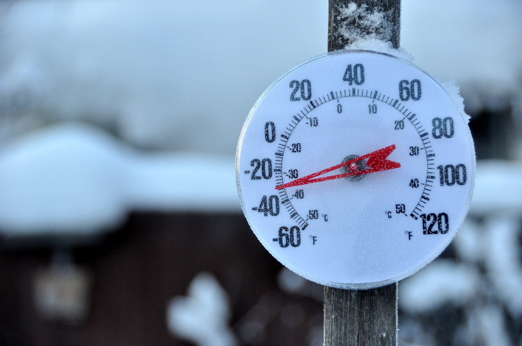
2018 opens with record cold temperatures over most of the U.S.
A surge of cold Arctic air blasted regions of the United States with dangerous subzero temperatures and widespread wind chill warnings over the weekend, and more cold weather is on the way. Another Arctic surge is in the forecast later this week, which will bring temperatures back down just as soon as they have a chance to rise.
Hundreds of thousands of people showed up to ring in 2018 despite the shivering cold weather in New York City last night. With a temperature of 9 degrees, the event was the second-coldest New Year’s Eve ball drop in Times Square ever recorded.
The first morning of the new year brought below-freezing temperatures to more than 230 million Americans, according to The Weather Channel. The news outlet also announced that the average temperature across the United States at 8:00 Eastern time on New Year’s morning was 8.2 degrees, and Tuesday morning will be even colder.
Temperatures in some areas of the Northeast are 15 to 30 degrees below average, and many states in the Midwest are facing frigid temperatures as well. Places in the South including parts of the Plains and the Gulf Coast are experiencing single digits and temperatures in the teens.
The Weather Channel reported that dozens of new record lows have been set, and more are expected as the week progresses. This morning, Watertown, New York, hit a new daily low of – 31 degrees, while Des Moines, Iowa, and Moline, Illinois, both set new records at – 19 degrees.
Over the weekend, the town of Embarrass, Minnesota, hit a temperature of – 45 degrees, and wind chills in North Dakota and Minnesota dropped to as low as -55 degrees.
Temperatures will get a few degrees warmer in some regions on Wednesday and Thursday as the first system weakens, but another Arctic air mass will spill into the United States from Canada during the second half of the week and reinforce the freezing weather by Friday.
There may be some relief from the cold for affected regions in the not-so-distant future. Experts from the Weather Channel explained, “There’s a chance a pattern change may allow milder – relative to average, or at least less cold – temperatures to return in January’s second week, but the details remain highly uncertain.”
—
By Chrissy Sexton, Earth.com Staff Writer


