Night skies are going quiet - radar reveals steep insect declines
Britain’s skies are alive with movement – trillions of insects rise and fall with the rhythm of day and night. But new radar research reveals an unsettling divide.
While daytime insect activity is holding steady, the nocturnal swarm is thinning, especially across the country’s northern reaches.

Using weather radars originally designed to track rain, scientists have turned discarded data into a national-scale window on the decline of insect life.
The analysis spans roughly 13,800 square miles (35,742 square kilometers) and uncovers a sharp north-south contrast between stable day flyers and dwindling night populations.
What radar reveals above us
Across the main flying season, a new study estimates about 11.2 trillion insects in the air during the daytime and just over 5 trillion at night.
Those counts refer to flights between roughly 1,600 and 2,300 feet (490–700 meters) above the ground.
The work was led by Dr. Mansi Mungee at Azim Premji University (APU). Her research focuses on insect movement and large-scale ecological monitoring.
“This is one of the first studies to show how day- and night-flying insects are being affected differently, and how their habitats influence those patterns,” said Dr. Mungee. “It’s a crucial step toward understanding where to focus conservation efforts.”
Daytime numbers remained stable or even rose in parts of the south. Night flights declined overall, with the steepest drops at high latitudes.
Radar separates insects from rain
Modern systems use dual-polarization, a radar method that sends horizontal and vertical pulses to detect shape differences, to separate insects from raindrops. That shape signal helps estimate how many small bodies are aloft in a given slice of air.
Another key quantity is radar reflectivity – a measure of total backscattered energy from targets – which researchers convert into counts using established cross sections.
A technical guide explains why elongated insects boost differential reflectivity compared with round raindrops.
The team analyzed flights in two daily windows, 8 a.m. to 2 p.m. and around dusk into evening. Focusing on these peaks reduces confusion with birds and storms.
Validation mattered. Ground traps near one radar showed strong correlations with the aerial estimates, supporting the approach at low flight heights.
Nights see more insect declines
The sharpest declines showed up after sunset in northern regions. The authors point to cooler climates there and to artificial light at night (ALAN), human-made illumination that disrupts behavior and can weaken fitness, as likely pressures.
A 2020 review links ALAN to altered activity rhythms, reduced reproduction, and higher predation risk in insects. These effects stack up over time in populations that cue on light for movement and mating.
Land use also matters. Woodland, grassland, and even cities held more aerial insects than intensively farmed zones, which fits long-standing concerns about simplified fields.
City effects were not uniform. Nocturnal density rose in urban areas, while daytime density dipped in bright cores with very intense lighting.
The insect declines on the ground
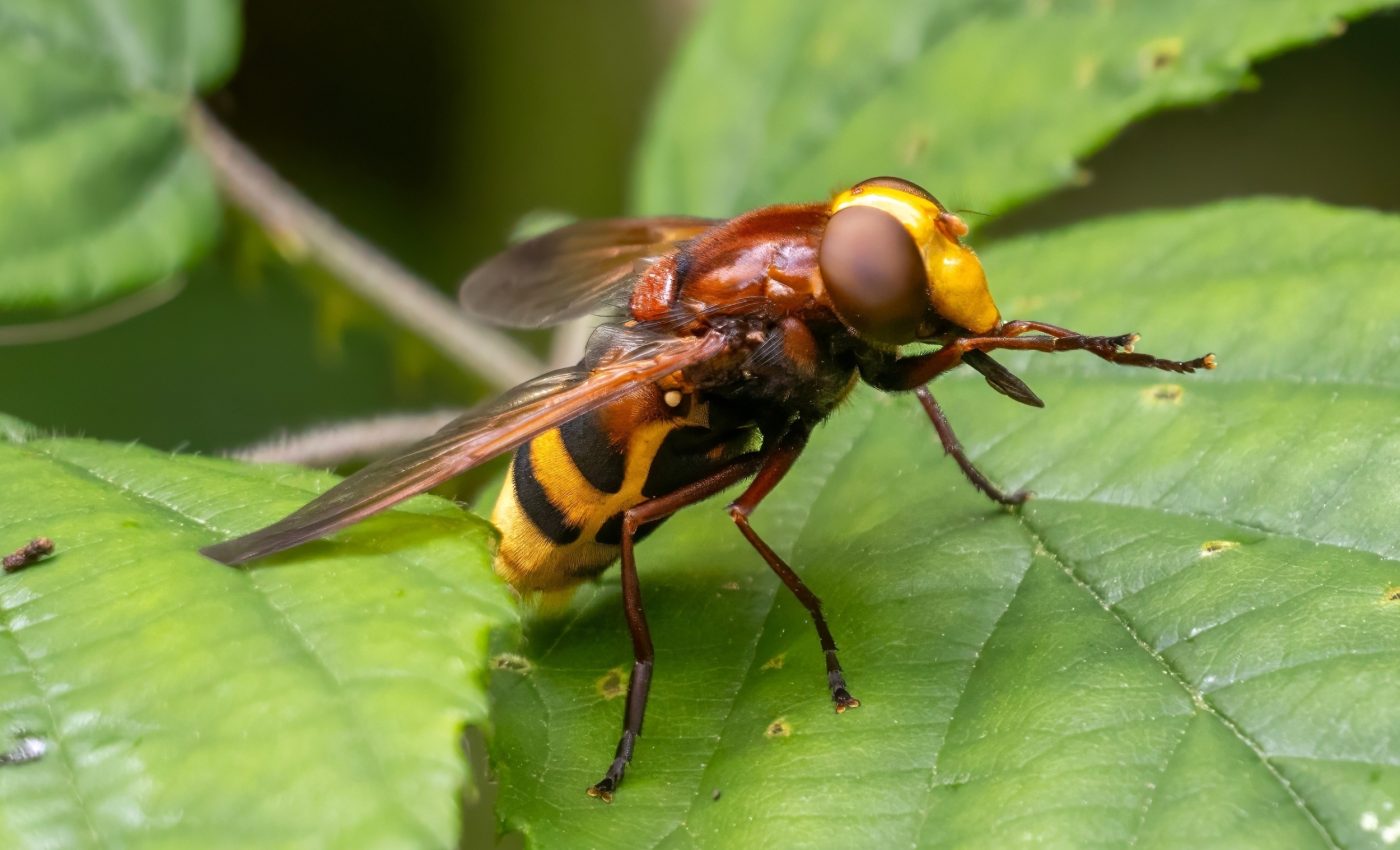
Insects pollinate crops, recycle waste, and feed birds and bats. A thinner night layer means fewer moths and other nocturnal fliers to move pollen and support predators during their hunts.
Long-term records reinforce this picture. A 2019–2020 analysis of standardized traps across Great Britain found a 31-percent decline in larger moths from 1969 to 2016, even as some groups fluctuated locally.
Nighttime changes ripple through food webs that depend on after-dark activity. If northern declines continue, species turnover could favor southern, warmth-tolerant fliers with different roles.
How light control can help
The radar network delivers a national pulse check at modest extra cost. Adding insect decline metrics to biodiversity indicators would show whether changes in land management are helping.
Light is the lever cities can pull quickly. Shielding fixtures, lowering color temperature, and dimming late at night can cut ALAN, stray light that scatters widely in air, without waiting years for new habitat.
Farm landscapes need complexity to recover aerial life. Hedgerows, field margins, and reduced pesticide loads can raise insect movement into the boundary layer where many flights begin.
Better targeting depends on local context. The data showed strong spatial patterns, so fixes should match regional climate and land-use mosaics.
What’s next for insect tracking
Today’s methods count bodies but rarely name them. Work is advancing toward taxonomic signals in polarimetric data, aided by modeling and matched ground samples.
New studies show how dual-polarization can flag biological targets with more precision. That progress opens the door to routine, year round tracking tied to weather forecasts and seasonal cycles.
Statistically, the team used a generalized additive model, a flexible approach that fits smooth curves to complex relationships, to separate year, place, weather, land cover, and light. This structure blends national coverage with local nuance.
Linking radar with DNA from traps, acoustic sensors, and community science can tie aerial counts to species level trends. That blend would sharpen both conservation triage and success checks.
The study is published in the journal Global Change Biology.
—–
Like what you read? Subscribe to our newsletter for engaging articles, exclusive content, and the latest updates.
Check us out on EarthSnap, a free app brought to you by Eric Ralls and Earth.com.
—–


